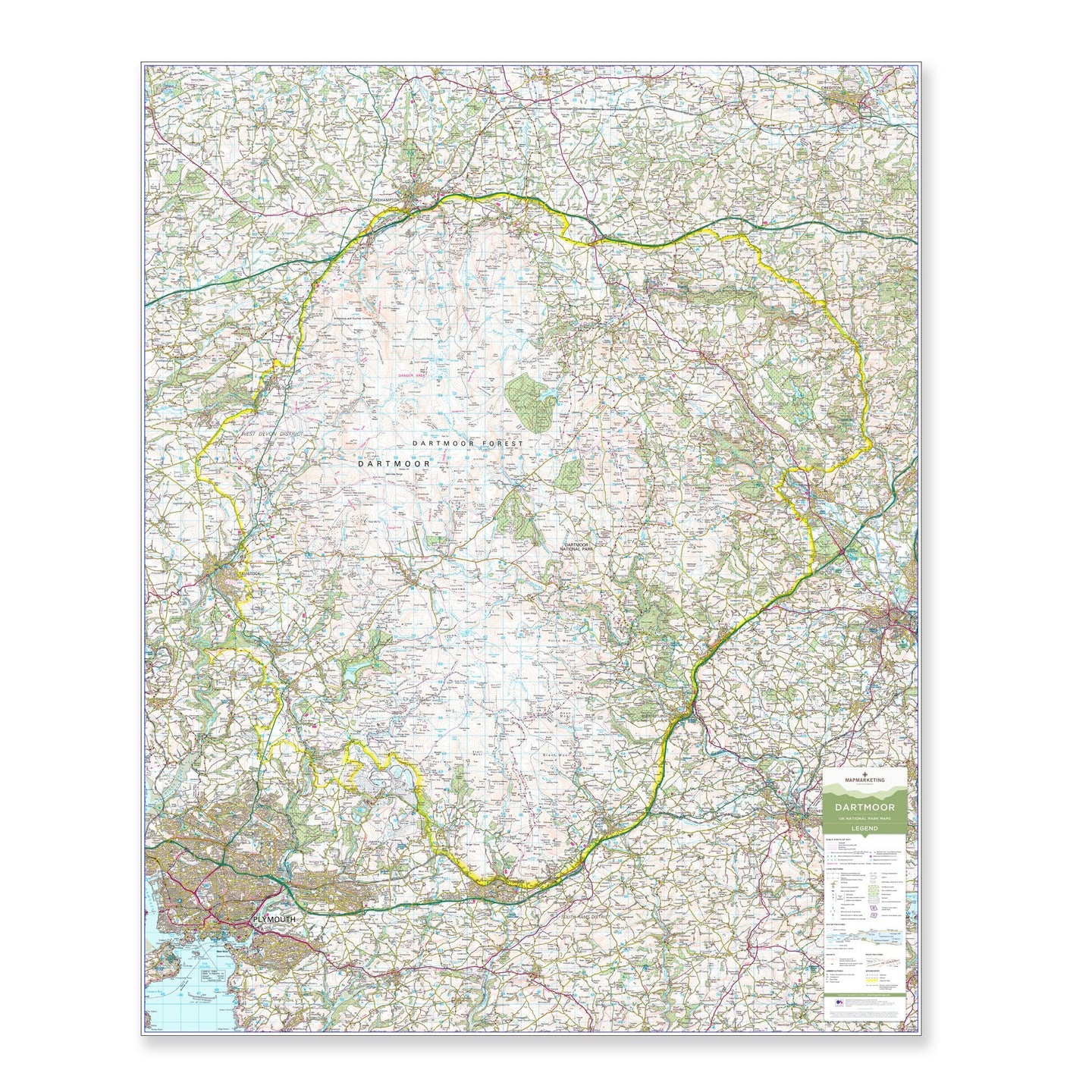

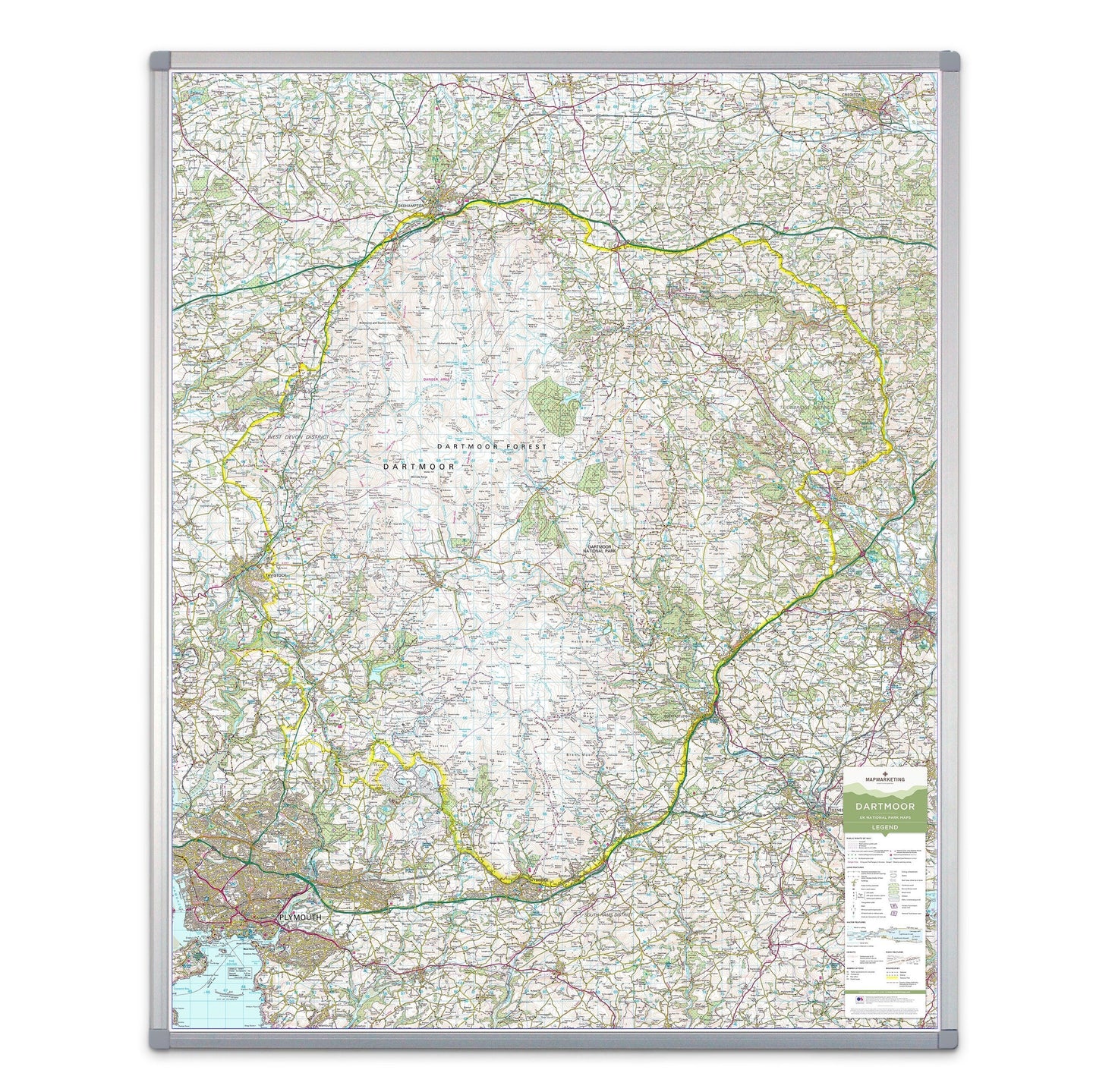
A large wall map of Dartmoor National Park printed using the UK’s most iconic mapping for outdoor activities; the Ordnance Survey’s base.
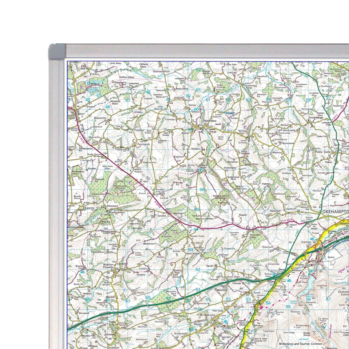
Mapping printed at the full 1:50000 scale, 2cm = 1km. The wall map shows the whole of the National Park area with additional space around the park boundary for context.
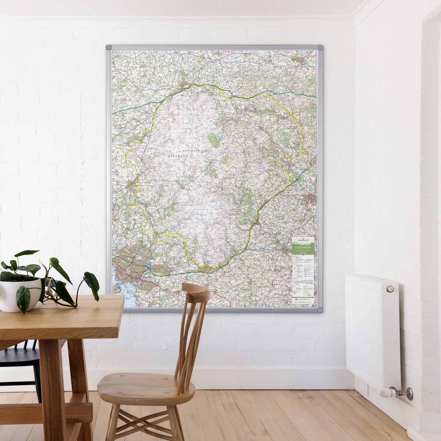
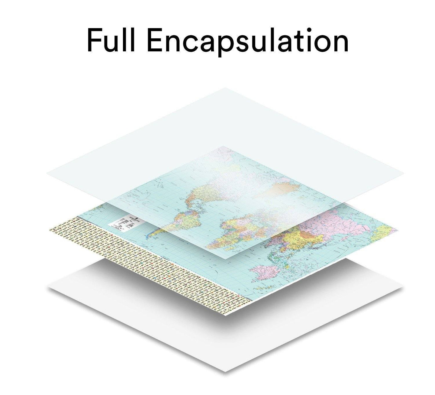
Available in a durable encapsulated finish, supplied rolled. This lamination is ideal for use with non-permanent pens to write on – wipe off, perfect for route planning.
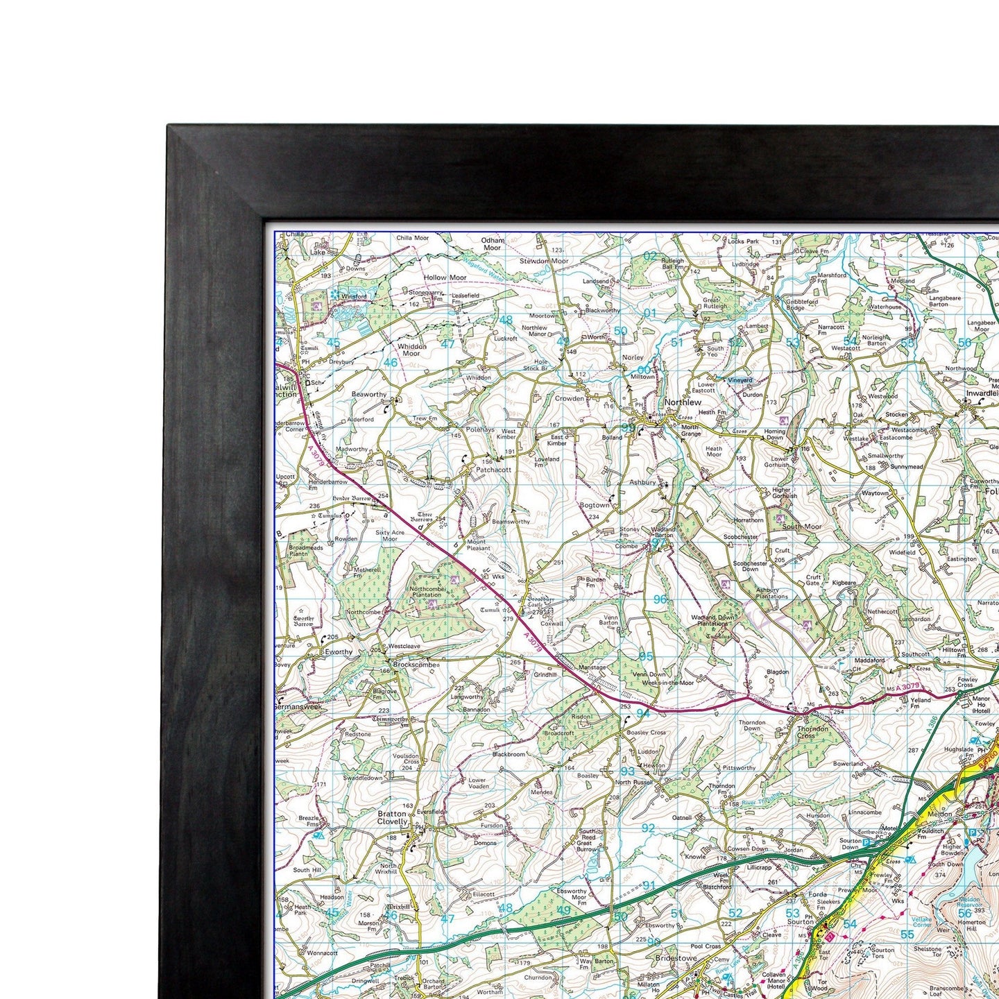
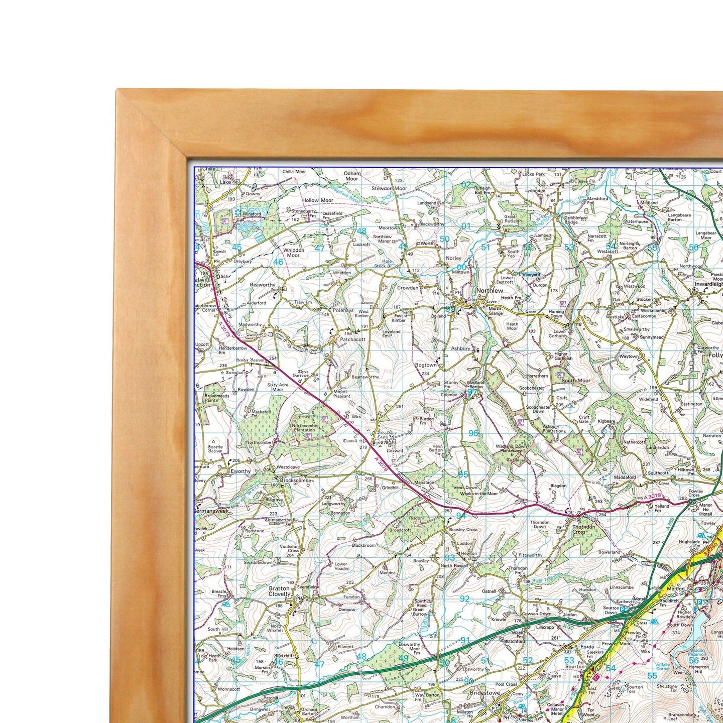
The framed version is also laminated and has a pin board backing for the use of pins, which makes for a fantastic display board for recording hikes and adventures.
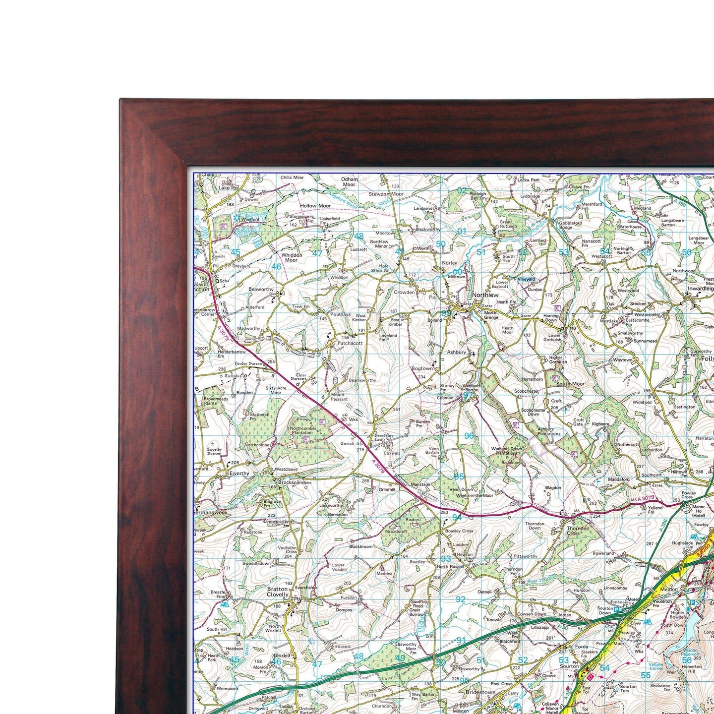
This map is permanently bonded between two sheets of tough, flexible, crystal-clear plastic. This finish allows you to “write on, wipe off” with dry or wet wipe pens. This map is also available laminated and framed in either superb satin-finish aluminium or light, black or dark wood supplied ready to display.
Print Size: 87 x 109cm
Orientation: Portrait
Scale: 1:50,000 / 2cm = 1km
Mapping: Ordnance Survey
Key towns included: Plymouth, Tavistock, Okehampton, Crediton.
Dartmoor - UK National Park Wall Map

Size: 87 x 109cm
Product Code: BESPDART
A large wall map of Dartmoor National Park printed using the UK’s most iconic mapping for outdoor activities; the Ordnance Survey’s base.
Mapping printed at the full 1:50000 scale, 2cm = 1km. The wall map shows the whole of the National Park area with additional space around the park boundary for context.
Available in a durable encapsulated finish, supplied rolled. This lamination is ideal for use with non-permanent pens to write on – wipe off, perfect for route planning.
The framed version is also laminated and has a pin board backing for the use of pins, which makes for a fantastic display board for recording hikes and adventures.
This map is permanently bonded between two sheets of tough, flexible, crystal-clear plastic. This finish allows you to “write on, wipe off” with dry or wet wipe pens. This map is also available laminated and framed in either superb satin-finish aluminium or light, black or dark wood supplied ready to display.
Print Size: 87 x 109cm
Orientation: Portrait
Scale: 1:50,000 / 2cm = 1km
Mapping: Ordnance Survey
Key towns included: Plymouth, Tavistock, Okehampton, Crediton.
REVIEWS