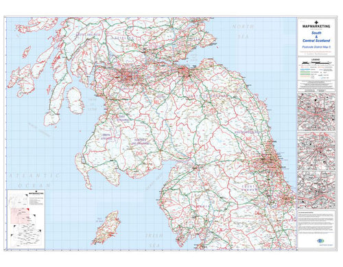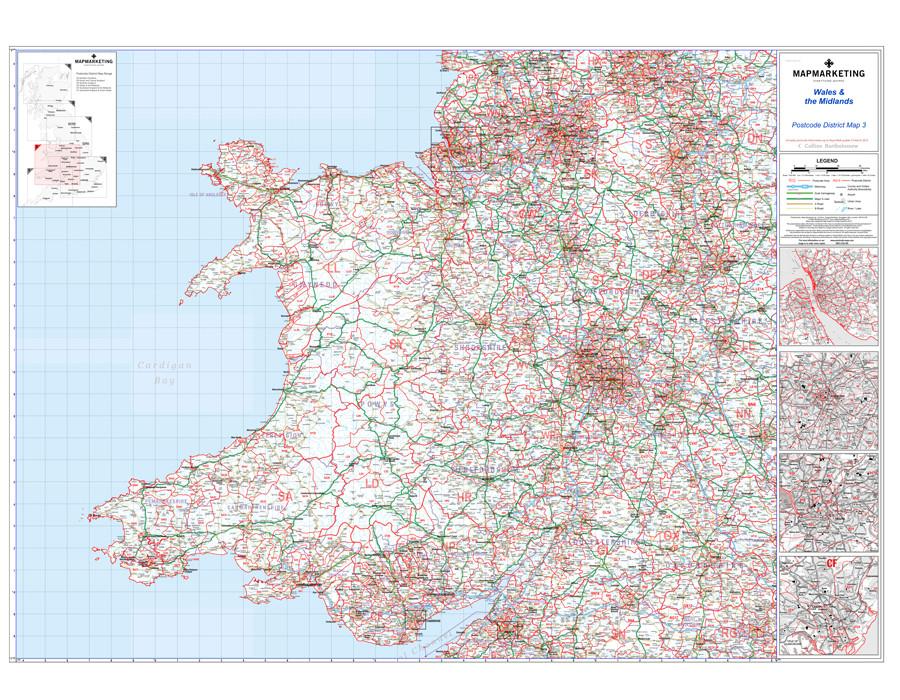
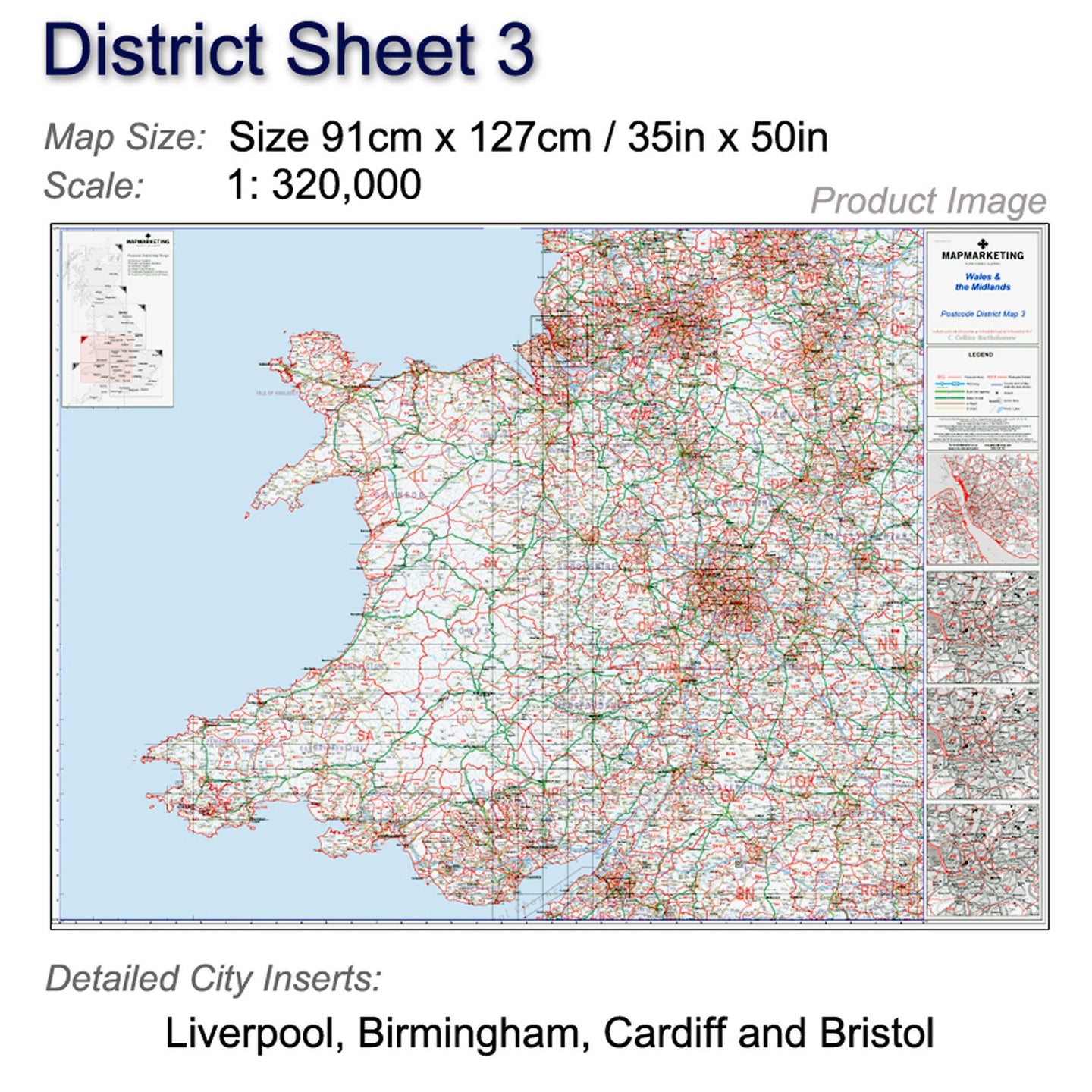
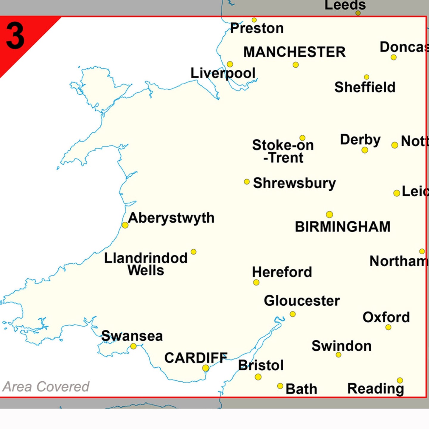


This postcode wall map of Wales and the Midlands covers Liverpool, Birmingham, Cardiff and Bristol.
Wales Postcode Wall Map - District Map 3
This postcode district map displays the complete first half of the Postcode (or Outward Code) for Wales and the Midlands includes Liverpool, Birmingham, Cardiff and Bristol. This map covers the following area:
North: Preston
South: Bath
East: Northampton
West: St Davids
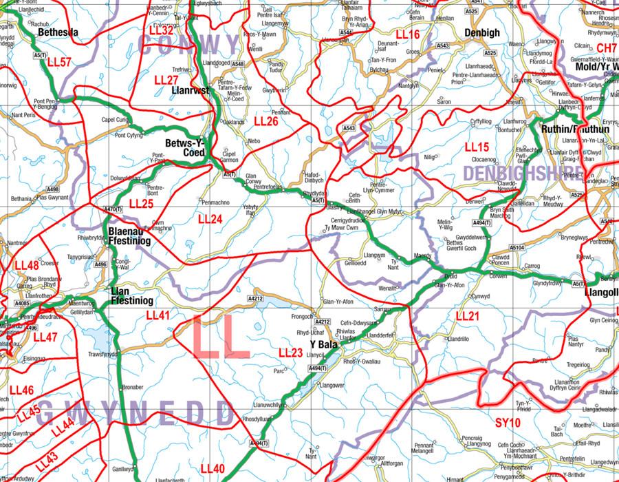
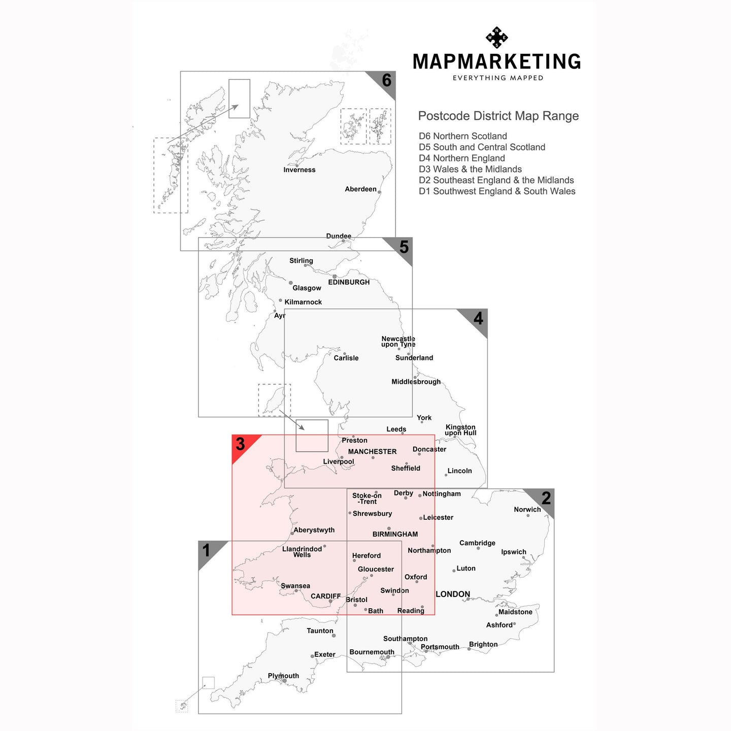
This postcode map is the third of six pre-defined sheets that covers Britain at a scale of an inch to 5 miles. The District maps include all of the Postcode changes from the most recent Royal Mail Postcode Update. The Area and District boundaries appear prominently in red with County and Unitary Authority boundaries displayed in purple. The map base shows motorways, primary and ‘A’ and ‘B’ roads and features conurbation shapes highlighting major towns and cities.
This Postcode District map also contain large scale city plans for Liverpool, Birmingham, Cardiff and Bristol to give you a more comprehensive view of the postcodes within this area.
Specifications:
Size: 91 x 127 cm (35 x 50 inches)
Scale: 1:320,000
City Inserts: Liverpool, Birmingham, Cardiff & Bristol
Wales and the Midlands (Liverpool, Birmingham, Cardiff, Bristol) - District Map 3

Size: 91 x 127 cm (35 x 50 inches)
Product Code: D3P
This postcode wall map of Wales and the Midlands covers Liverpool, Birmingham, Cardiff and Bristol.
Wales Postcode Wall Map - District Map 3
This postcode district map displays the complete first half of the Postcode (or Outward Code) for Wales and the Midlands includes Liverpool, Birmingham, Cardiff and Bristol. This map covers the following area:
North: Preston
South: Bath
East: Northampton
West: St Davids
This postcode map is the third of six pre-defined sheets that covers Britain at a scale of an inch to 5 miles. The District maps include all of the Postcode changes from the most recent Royal Mail Postcode Update. The Area and District boundaries appear prominently in red with County and Unitary Authority boundaries displayed in purple. The map base shows motorways, primary and ‘A’ and ‘B’ roads and features conurbation shapes highlighting major towns and cities.
This Postcode District map also contain large scale city plans for Liverpool, Birmingham, Cardiff and Bristol to give you a more comprehensive view of the postcodes within this area.
Specifications:
Size: 91 x 127 cm (35 x 50 inches)
Scale: 1:320,000
City Inserts: Liverpool, Birmingham, Cardiff & Bristol
REVIEWS