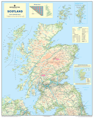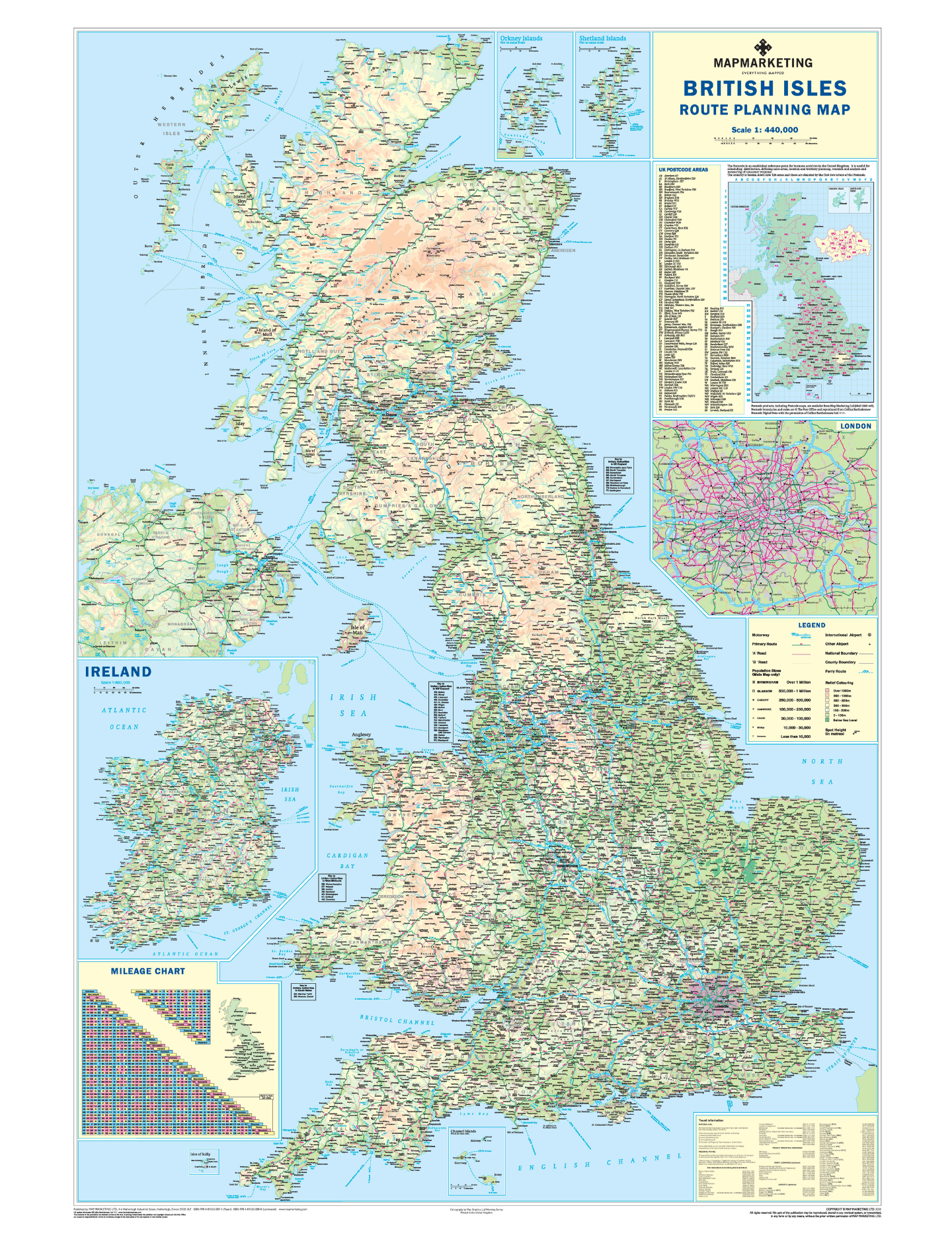
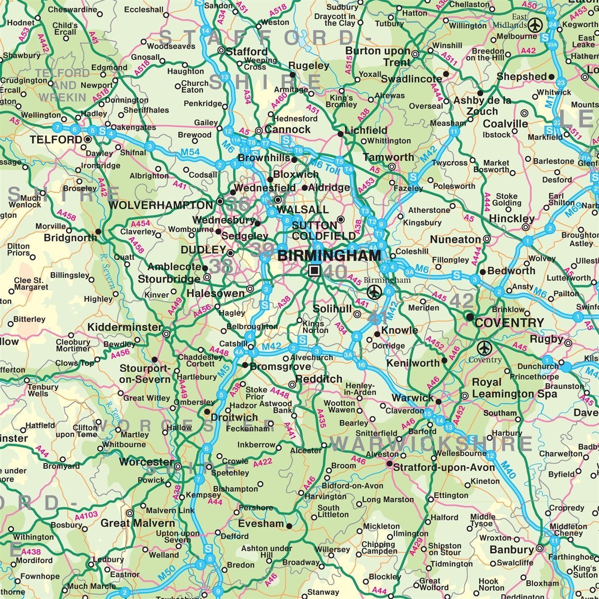
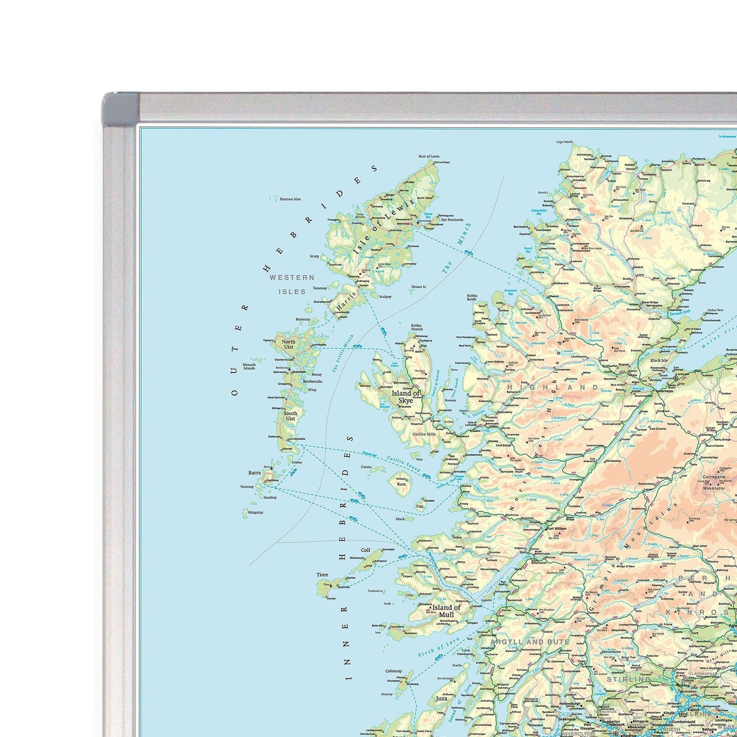


Fully updated in 2020, this map is ideal for planning travel either for business or pleasure. On a green map base with full relief colouring (to give you an idea of hilly or mountainous areas) are shown motorways and all “A” roads, with “B” roads shown on the London inset (the area within the M25) only. County and Unitary Authority boundaries are also shown, with the keys to the names of these where space constraints prevent them from being displayed on the map base itself.
An inset box in the bottom right-hand corner of the map presents useful travel information; all rail company and selected ferry company telephone booking numbers, as well as contact numbers and flight codes for all major national and international airports within the UK. Another inset shows the whole of Ireland at a scale of 1:1,600,000.
There is also an inset outlining Postcode Areas for the whole of the UK. Two useful mileage charts are printed on the map indicating distances between 48 GB and 18 Irish towns and cities.
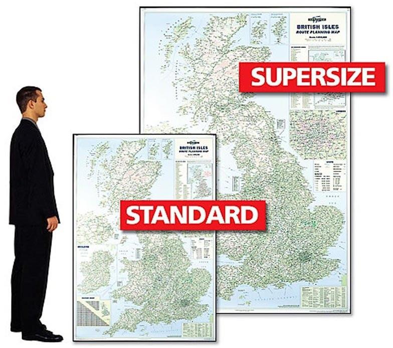
Size: 120 x 174 cm (47 x 68 inches). Scale 1:440 000 (7 miles to 1 inch)
Also available as a Standard size version.
Please note that due to the supersize of this product we are unable to ship overseas
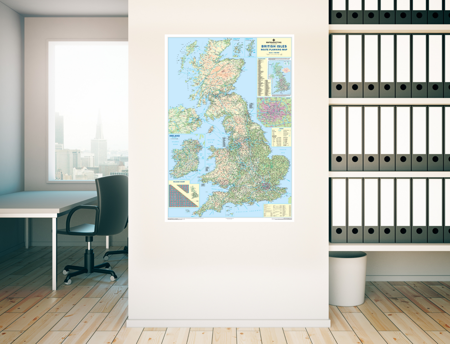
Supersize British Isles Motoring Wall Map

Size: 120 x 174 cm (47 x 68 inches)
Product Code: GBIM
Fully updated in 2020, this map is ideal for planning travel either for business or pleasure. On a green map base with full relief colouring (to give you an idea of hilly or mountainous areas) are shown motorways and all “A” roads, with “B” roads shown on the London inset (the area within the M25) only. County and Unitary Authority boundaries are also shown, with the keys to the names of these where space constraints prevent them from being displayed on the map base itself.
An inset box in the bottom right-hand corner of the map presents useful travel information; all rail company and selected ferry company telephone booking numbers, as well as contact numbers and flight codes for all major national and international airports within the UK. Another inset shows the whole of Ireland at a scale of 1:1,600,000.
There is also an inset outlining Postcode Areas for the whole of the UK. Two useful mileage charts are printed on the map indicating distances between 48 GB and 18 Irish towns and cities.
Size: 120 x 174 cm (47 x 68 inches). Scale 1:440 000 (7 miles to 1 inch)
Also available as a Standard size version.
Please note that due to the supersize of this product we are unable to ship overseas
REVIEWS