
The Map Marketing range of Reversible Political/Physical maps have been one of our best selling lines for over a decade.
Specifically designed for use in schools, the cartography uses large, clear details and vibrant colours to create easy-to-use reference tools that multiple pupils can use together. These maps are not only an excellent teaching tool but also a stunning addition to any classroom wall. The political side includes improved detailing between countries whilst the physical side includes improved height and bathymetric data.
Representing excellent value for money, each map in this range is printed on both sides and you choose either the political or the physical base for teaching. Like all of our maps, the reversible range is encapsulated in a heavy duty film. This makes the maps virtually indestructible as well as giving them a wipe on/wipe off finish. All maps come complete with an easy-to-use hanging system. At Geopacks we are conscious of our environmental responsibilities and we have taken care to ensure that these new maps are printed in the UK using soy-based inks on chlorine-free paper sourced from FSC accredited companies.
World
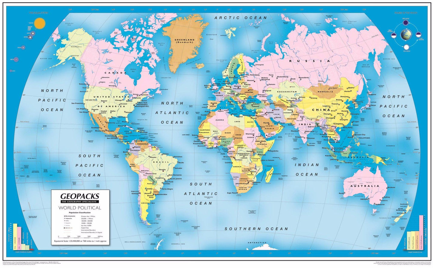
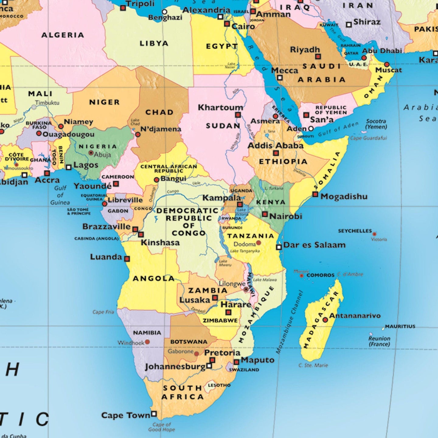
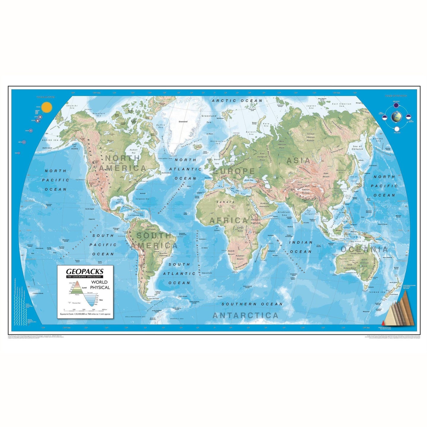
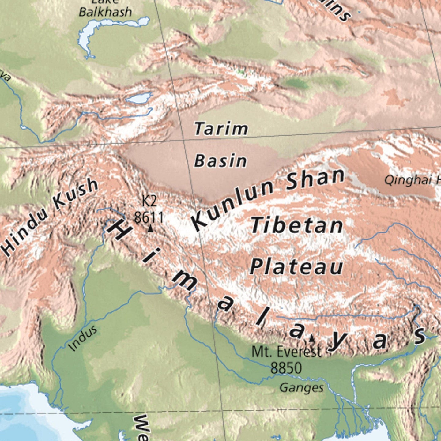
Based on the Van Der Grinten projection, the political side of the World map displays international political boundaries, including ones which are disputed, with capital cities clearly marked. The physical side includes rivers, mountain ranges, land height and bathymetric data. Both sides of the map feature inserts showing the layout of the solar system and phases of the moon. Other features include graphics showing the six longest rivers and highest mountains and rank the four largest countries by population and land mass in comparison to the British Isles. Encapsulated and supplied with hanging strips.
Europe
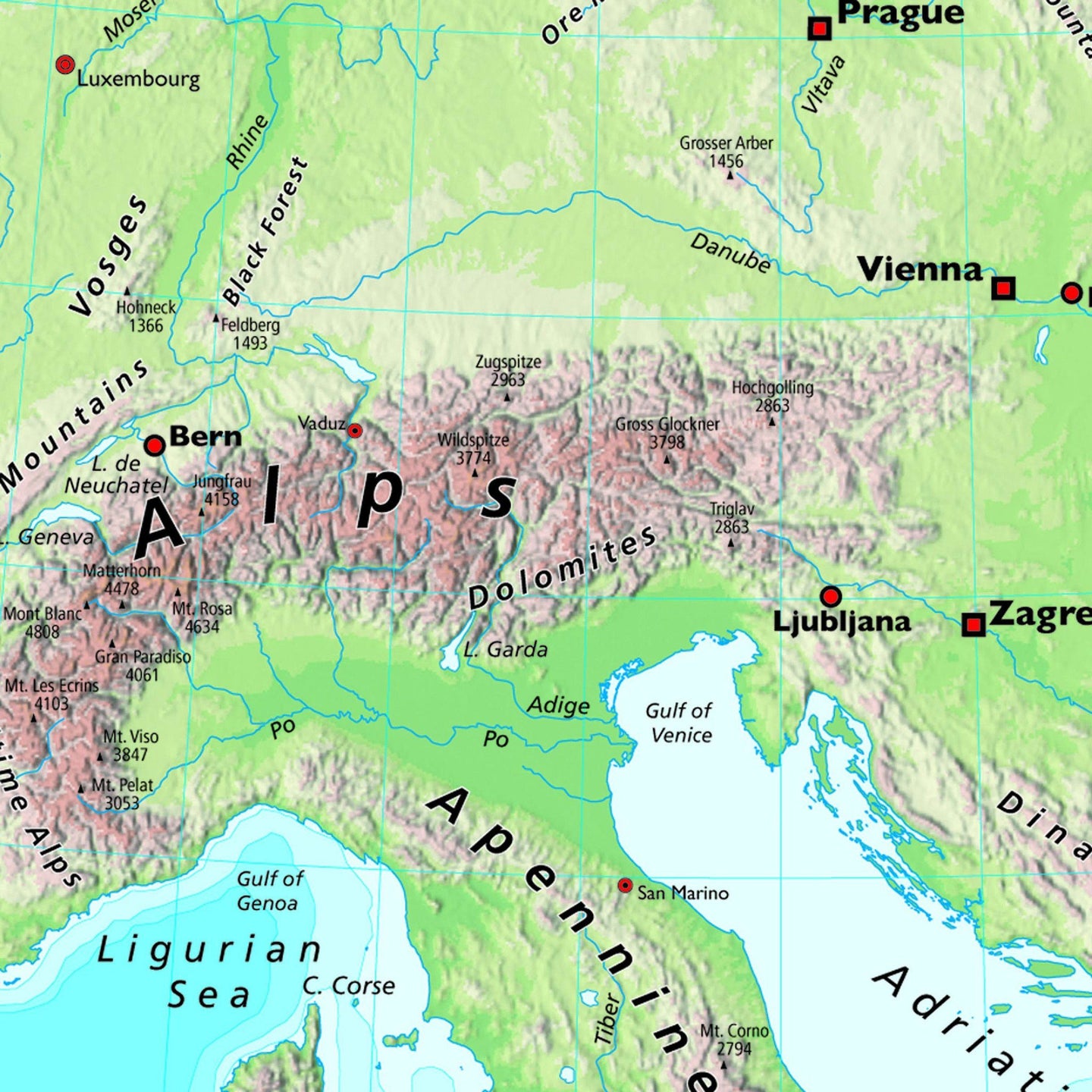
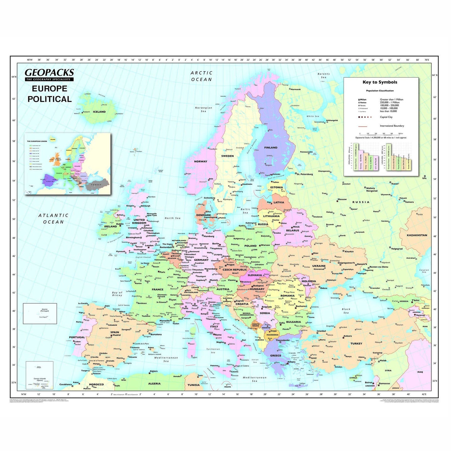
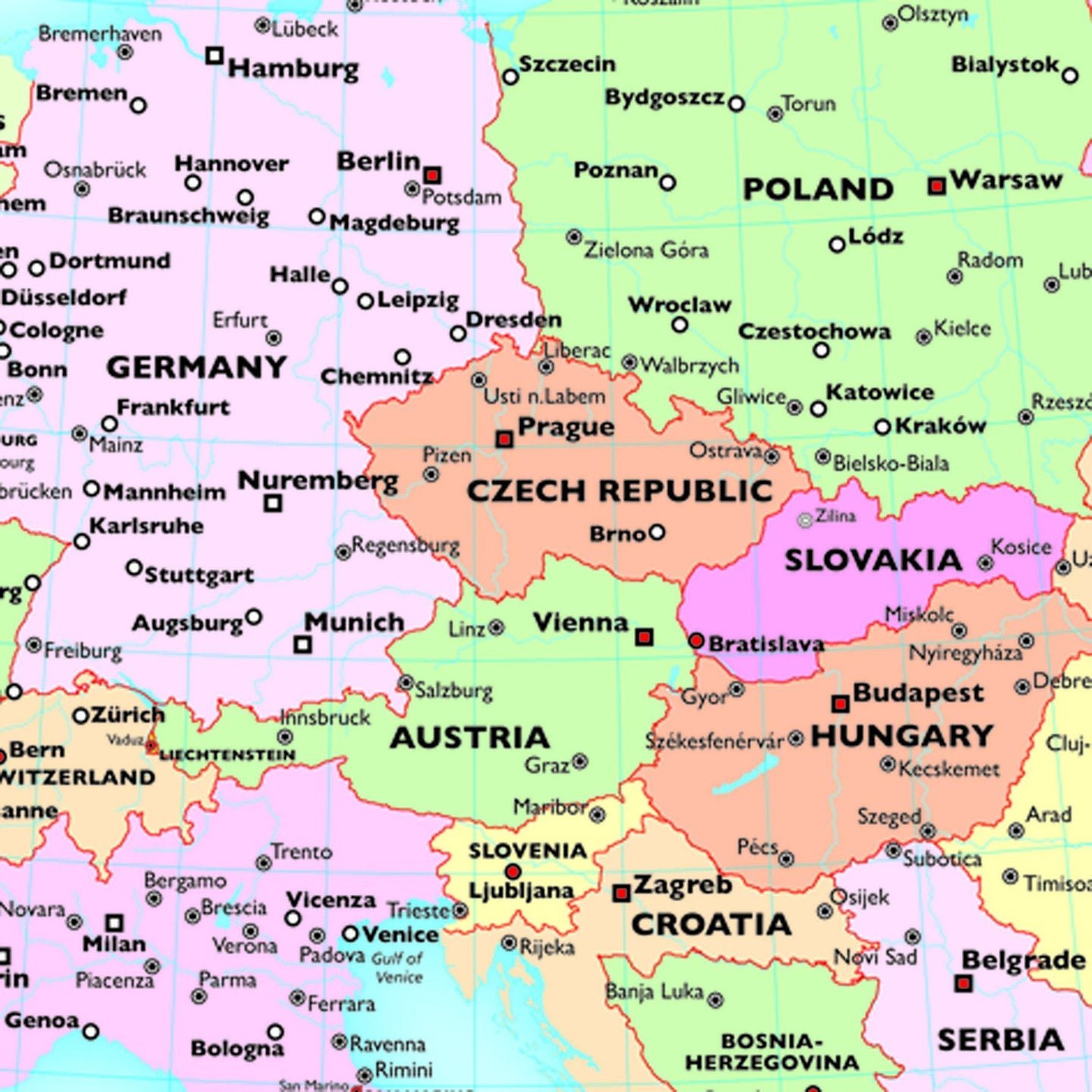
Based on the Lambert Conformal Conic projection, our Europe map covers the whole of the continent from northern Africa to Norway’s North Cape and from the Azores to the Caspian Sea. On the political side all capitals and major cities are clearly marked in five different population bands. It also includes a handy map insert detailing current and potential future EU member countries. The key features a useful graph detailing the top five European countries by population and by land mass. The reverse shows Europe’s physical relief, all major rivers, mountains and capital cities. It also details the longest rivers and highest mountains in mainland Europe and compares them to those found in the British Isles. Encapsulated and supplied with hanging strips.
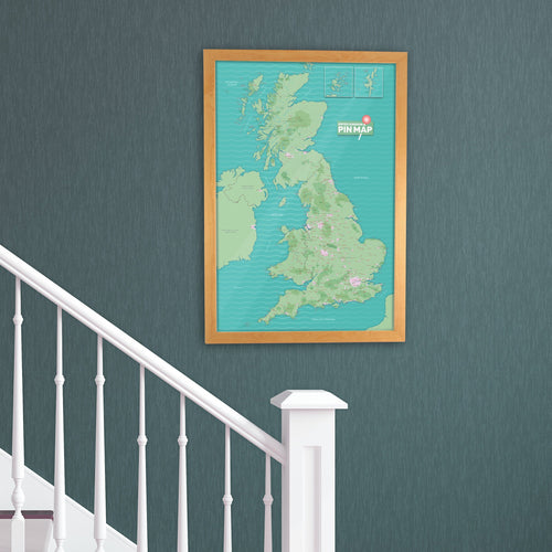
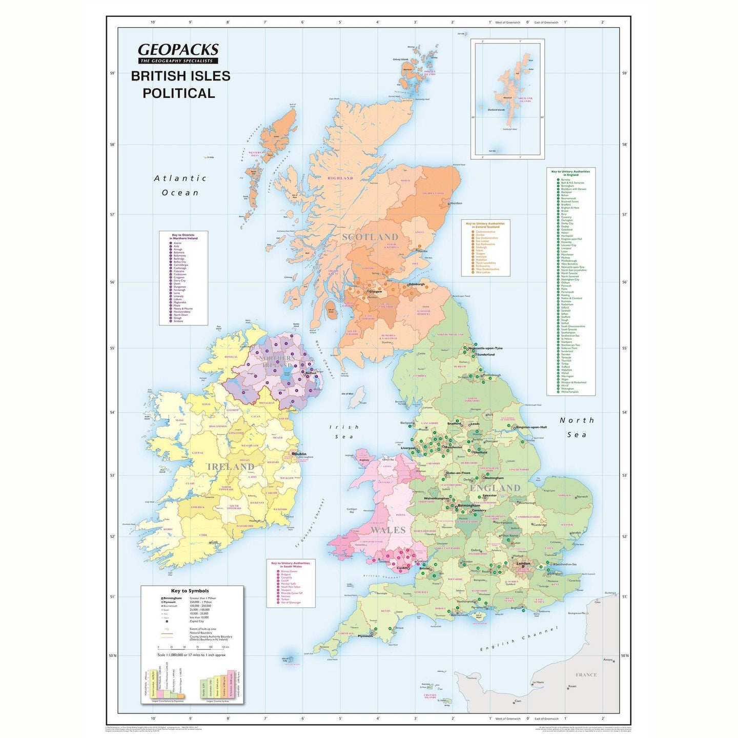
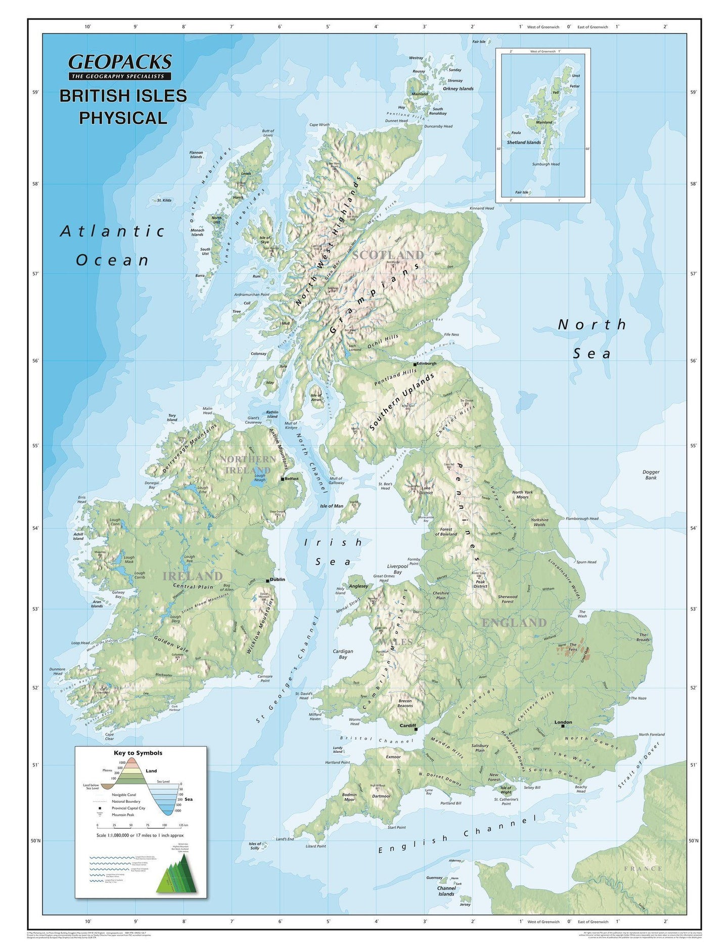
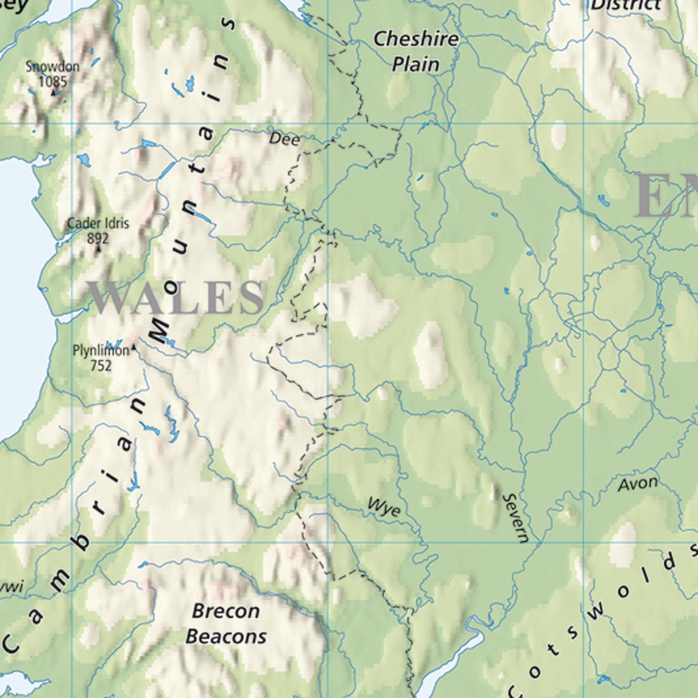
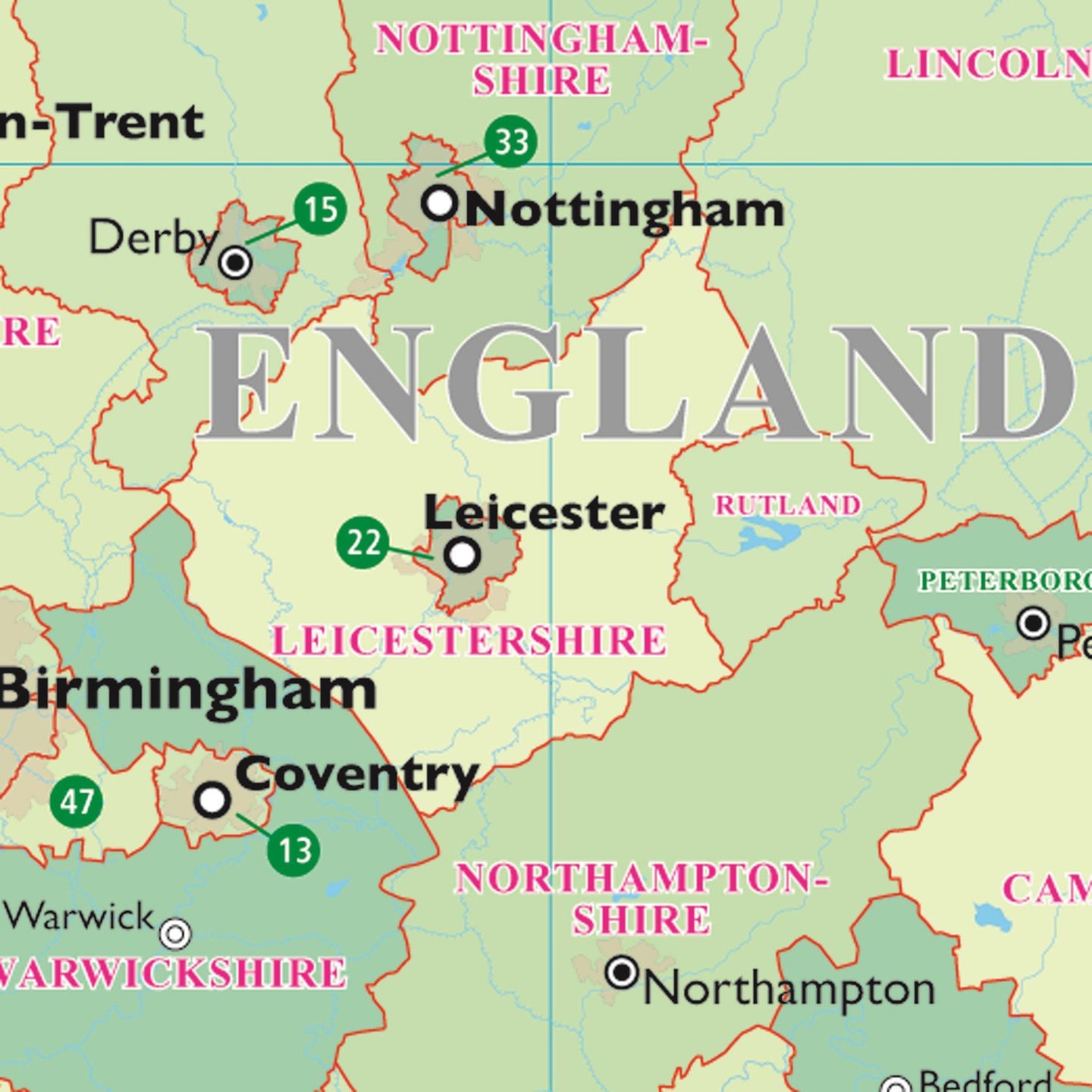
British Isles
Created using Universal Transverse Mercator. The political side of this map clearly marks the counties and unitary authorities in different colours with cities and towns displayed in six population bands. The legend also includes a graphical representation of the five largest conurbations by population compared to the five largest counties by area. The physical side displays relief and bathymetric data along with rivers and canals as well as providing helpful information on the longest rivers and highest mountains in the British Isles. Encapsulated and supplied with hanging strips.
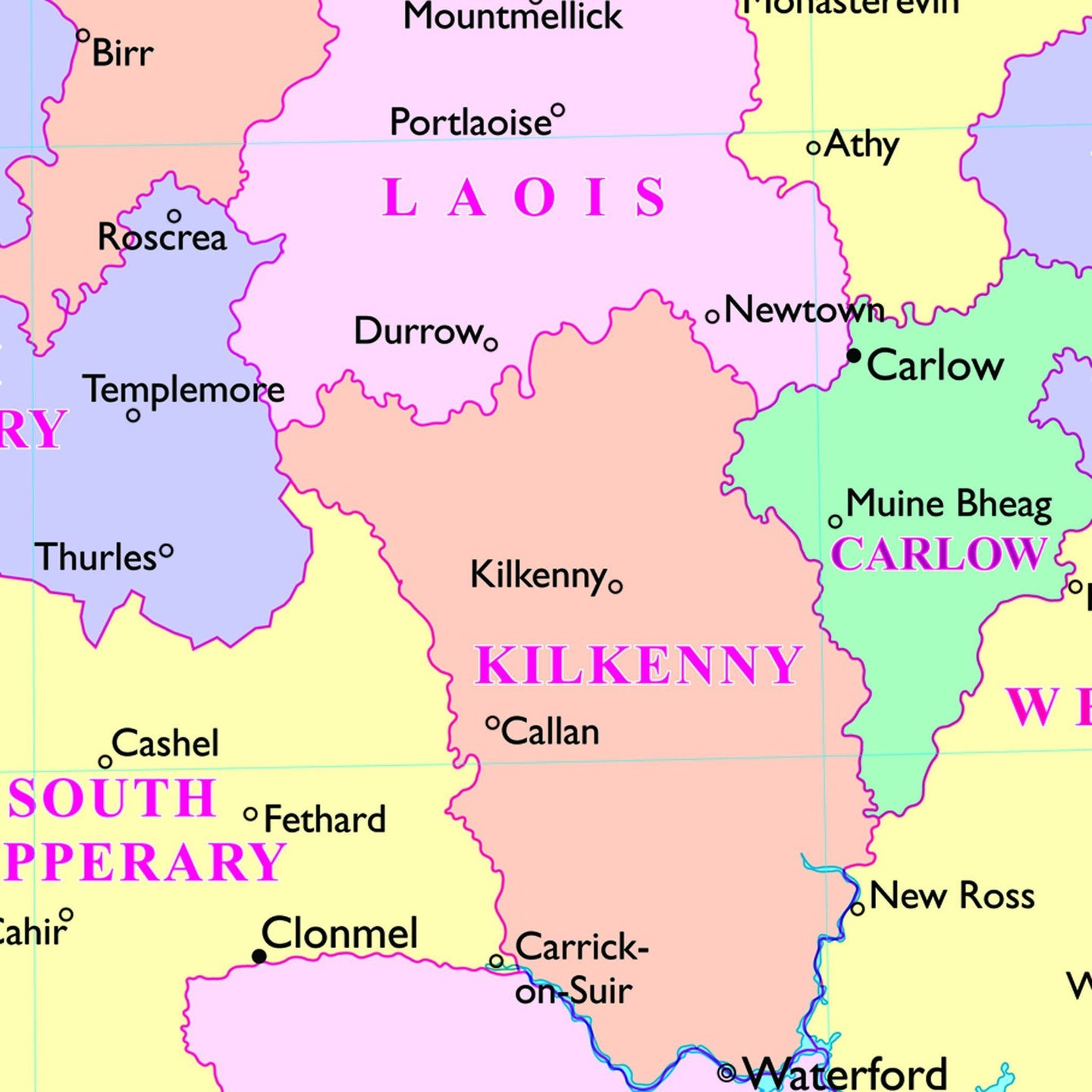
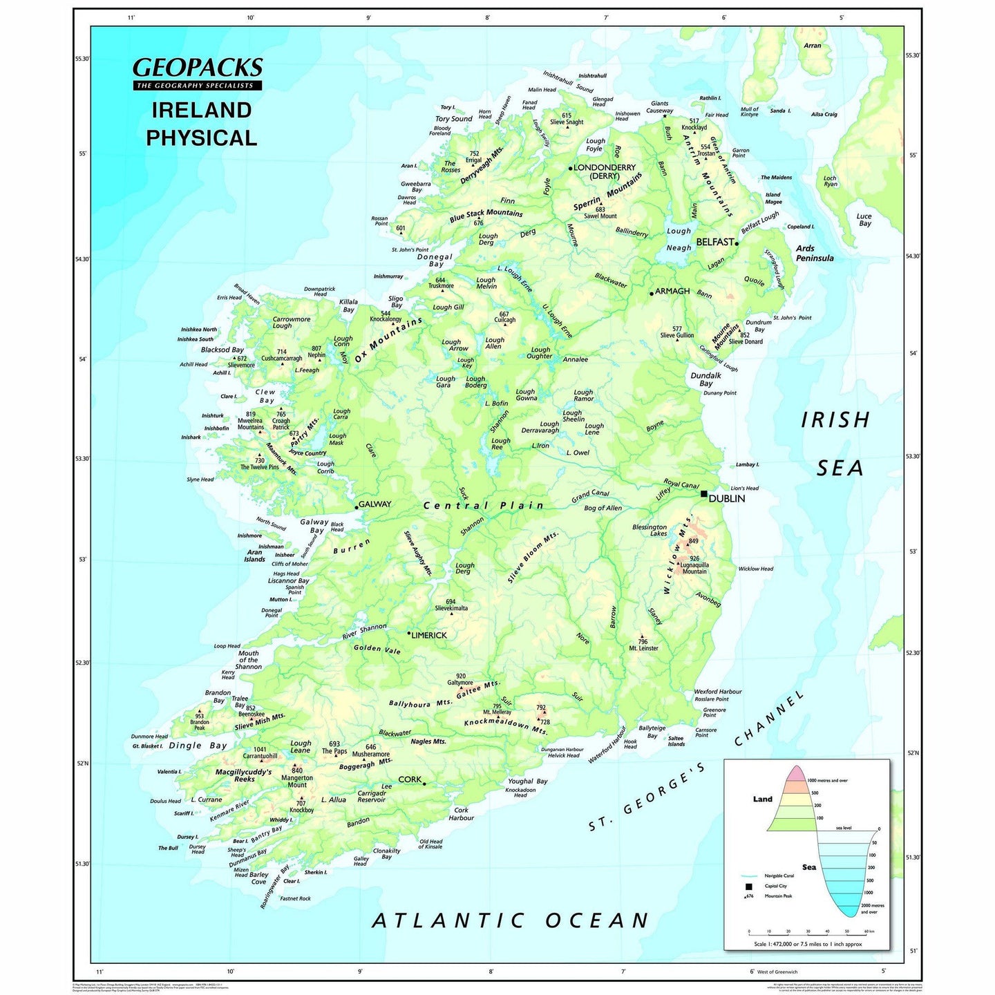
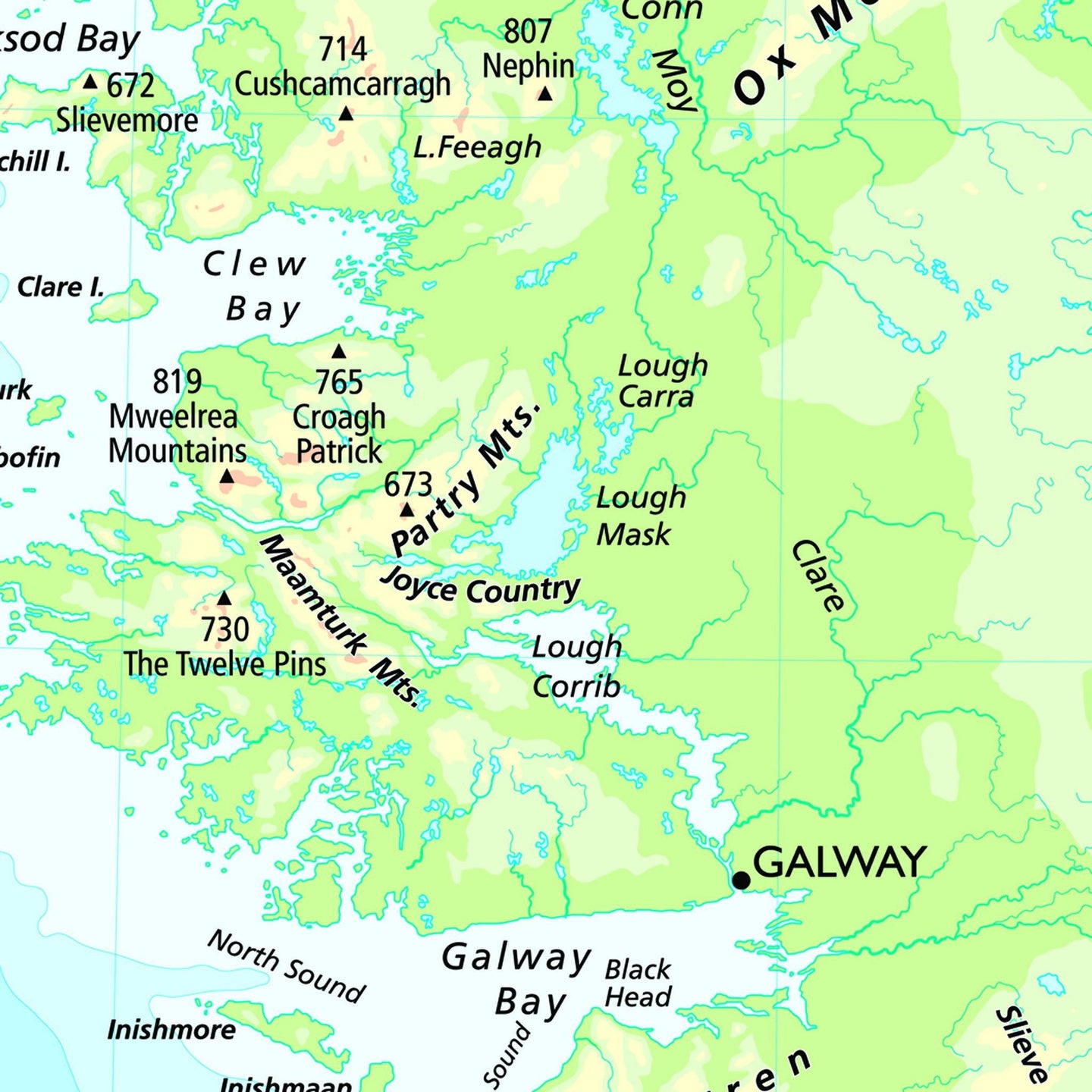
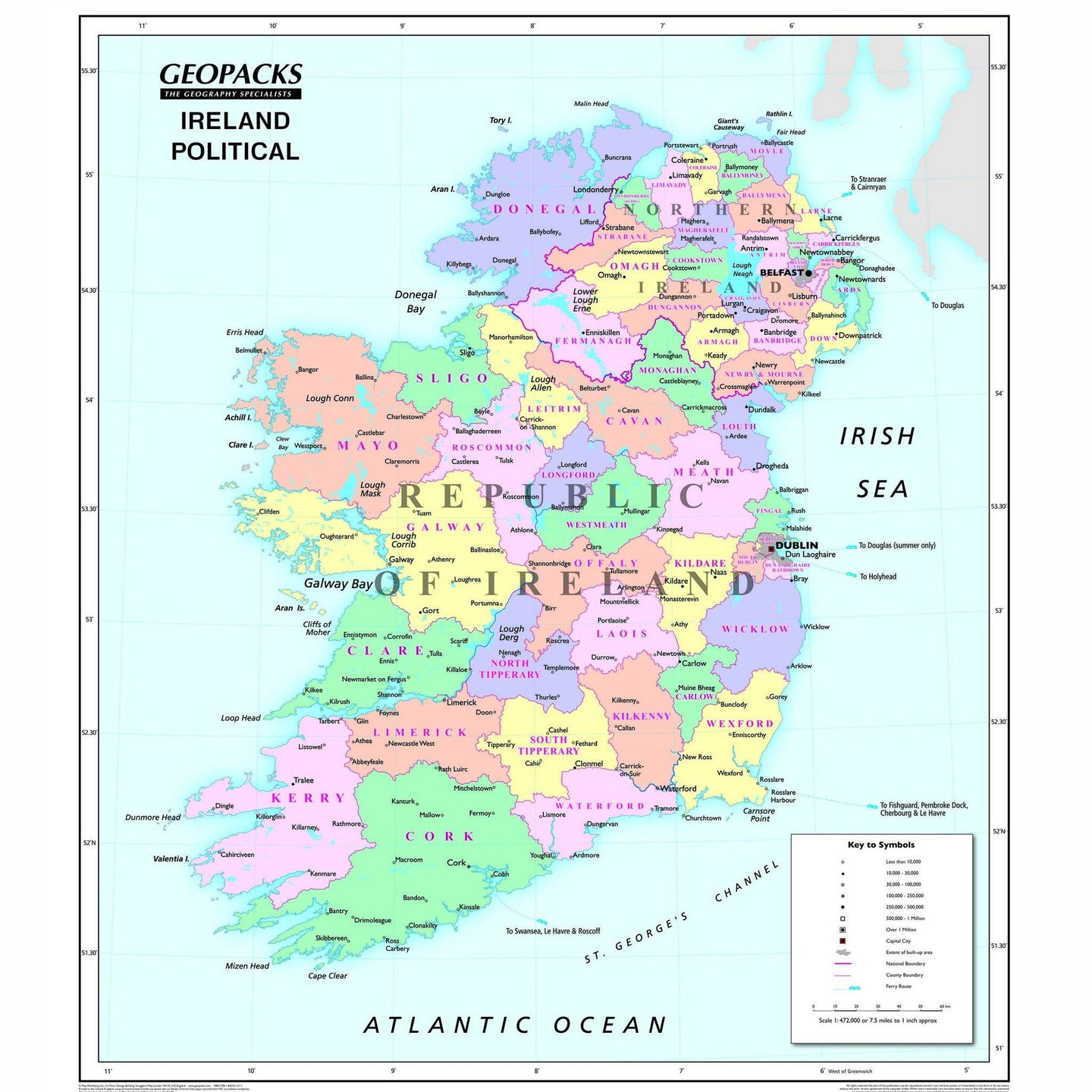
Ireland
Created using Universal Transverse Mercator. The political side of this map clearly marks the counties in different colours with cities and towns displayed in seven population bands. The physical side displays relief and bathymetric data along with rivers, loughs and canals. Encapsulated and supplied with hanging strips.
| World | Size: 81 x 128cm | Scale: 1:33 450 000 |
| Europe | Size: 104 x 129cm | Scale: 1:4 300 000 |
| British Isles | Size: 130 x 96cm | Scale: 1:1 080 000 |
| Ireland | Size: 111 x 95cm | Scale: 1:472 000 |
| Wales | Size: 110 x 95cm | Scale: 1:250 000 |
Reversible Political/Physical Wall Maps

Size: Various
Product Code: ZMFP138
The Map Marketing range of Reversible Political/Physical maps have been one of our best selling lines for over a decade.
Specifically designed for use in schools, the cartography uses large, clear details and vibrant colours to create easy-to-use reference tools that multiple pupils can use together. These maps are not only an excellent teaching tool but also a stunning addition to any classroom wall. The political side includes improved detailing between countries whilst the physical side includes improved height and bathymetric data.
Representing excellent value for money, each map in this range is printed on both sides and you choose either the political or the physical base for teaching. Like all of our maps, the reversible range is encapsulated in a heavy duty film. This makes the maps virtually indestructible as well as giving them a wipe on/wipe off finish. All maps come complete with an easy-to-use hanging system. At Geopacks we are conscious of our environmental responsibilities and we have taken care to ensure that these new maps are printed in the UK using soy-based inks on chlorine-free paper sourced from FSC accredited companies.
World
Based on the Van Der Grinten projection, the political side of the World map displays international political boundaries, including ones which are disputed, with capital cities clearly marked. The physical side includes rivers, mountain ranges, land height and bathymetric data. Both sides of the map feature inserts showing the layout of the solar system and phases of the moon. Other features include graphics showing the six longest rivers and highest mountains and rank the four largest countries by population and land mass in comparison to the British Isles. Encapsulated and supplied with hanging strips.
Europe
Based on the Lambert Conformal Conic projection, our Europe map covers the whole of the continent from northern Africa to Norway’s North Cape and from the Azores to the Caspian Sea. On the political side all capitals and major cities are clearly marked in five different population bands. It also includes a handy map insert detailing current and potential future EU member countries. The key features a useful graph detailing the top five European countries by population and by land mass. The reverse shows Europe’s physical relief, all major rivers, mountains and capital cities. It also details the longest rivers and highest mountains in mainland Europe and compares them to those found in the British Isles. Encapsulated and supplied with hanging strips.
British Isles
Created using Universal Transverse Mercator. The political side of this map clearly marks the counties and unitary authorities in different colours with cities and towns displayed in six population bands. The legend also includes a graphical representation of the five largest conurbations by population compared to the five largest counties by area. The physical side displays relief and bathymetric data along with rivers and canals as well as providing helpful information on the longest rivers and highest mountains in the British Isles. Encapsulated and supplied with hanging strips.
Ireland
Created using Universal Transverse Mercator. The political side of this map clearly marks the counties in different colours with cities and towns displayed in seven population bands. The physical side displays relief and bathymetric data along with rivers, loughs and canals. Encapsulated and supplied with hanging strips.
| World | Size: 81 x 128cm | Scale: 1:33 450 000 |
| Europe | Size: 104 x 129cm | Scale: 1:4 300 000 |
| British Isles | Size: 130 x 96cm | Scale: 1:1 080 000 |
| Ireland | Size: 111 x 95cm | Scale: 1:472 000 |
| Wales | Size: 110 x 95cm | Scale: 1:250 000 |
REVIEWS