

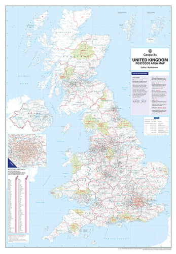
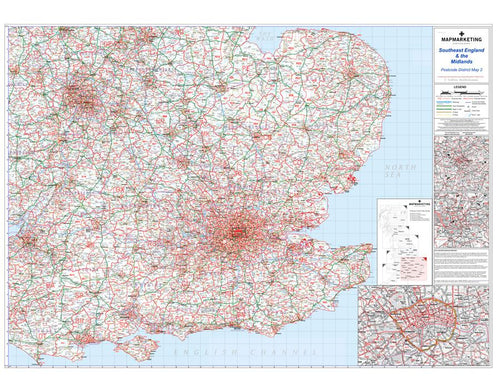
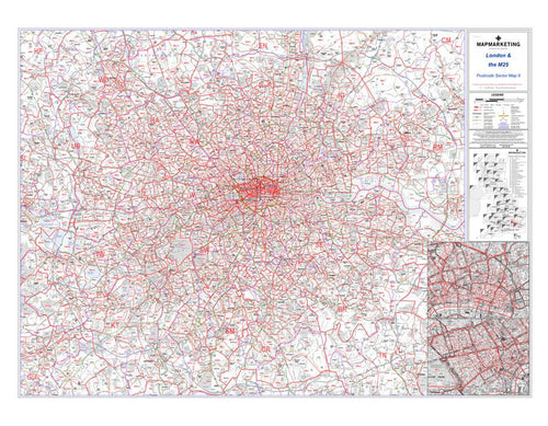
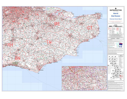
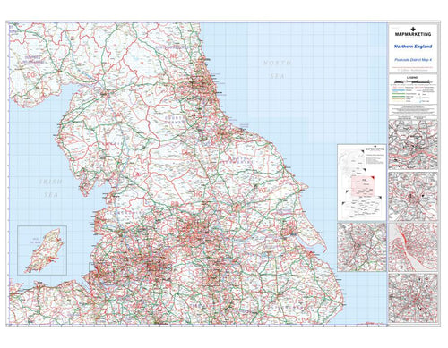
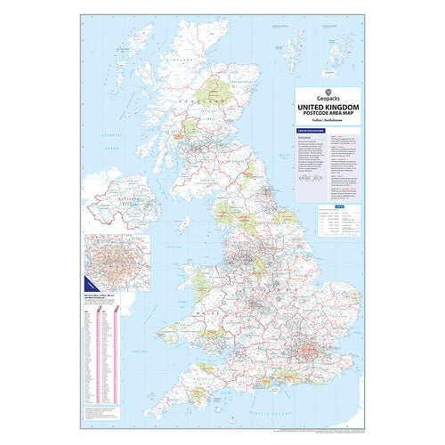
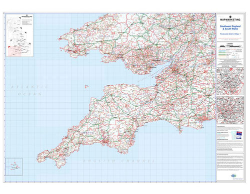
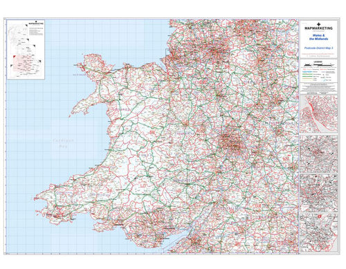
Postcode Maps - Laminated or Framed Wall Maps
Postcode maps and postcode mapping are crucial planning tools for many types of business. Map Marketing offer a wide range of postcode maps, this collection includes Area, District and Sector postcode maps, as well as European postcode maps. All our mapping and postcode information is up-to-date and each of our large wall maps come in a range of finishes, from encapsulation (laminated) to a choice of frames or even wallpaper.


Postcodes Explained
Developed originally by the Royal Mail to enhance and streamline postal delivery, postcodes and postcode geography have evolved to form an integral part of business planning as an established reference point throughout the United Kingdom. The applications are infinite, and effectiveness relies on current postcode boundary data. At Map Marketing, the digital print technology we use to produce our postcode maps ensures our products are kept right up to date with the Royal Mail boundary release information.