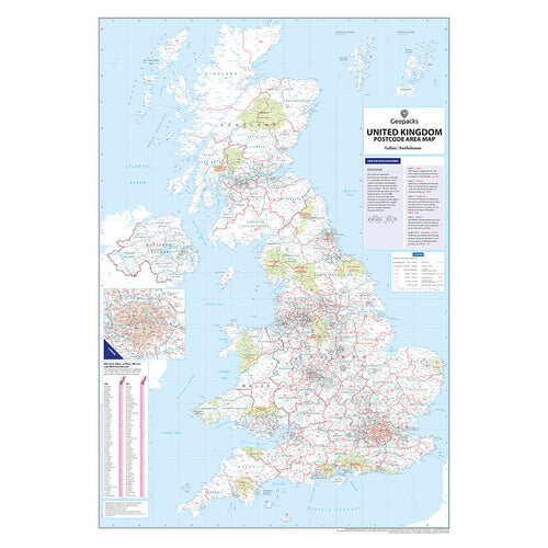


UK Postcode Area & County Boundaries Wall Map
This detailed wall map of the UK displays Postcode Area boundaries alongside the latest County and Unitary Authority boundaries, making it an essential tool for business planning, logistics, and regional analysis.
The map features:
- Postcode Area boundaries clearly marked in red, with corresponding area letters.
- County and Unitary Authority boundaries shown in dark green for easy reference.
- A clean black-and-white base map, with National Parks highlighted in pale green.
- Major transport routes including motorways, primary roads, and key London roads.
- Seven categories of town and city markers, scaled by population from 2,000 to over 1 million residents.
- A detailed inset of Greater London (at a larger scale of 1 inch to 4 miles) to accommodate the dense postcode structure within the M25.
- Updated using Royal Mail’s update notifications
- Overlaid on Collins Bartholomew trusted road mapping
Also included is a comprehensive index of all 124 UK Postcode Areas, listing each area's main postal town or city. An informative guide explains the structure of UK postcodes, covering Area, District, and Sector levels.
This map is updated and reprinted annually to ensure the most current boundary data is available.
Specifications
Size: 120 x 83 cm (47 x 33 inches)
Scale: 1:850,000 (13.4 miles to 1 inch, 8.5 km to 1 cm)
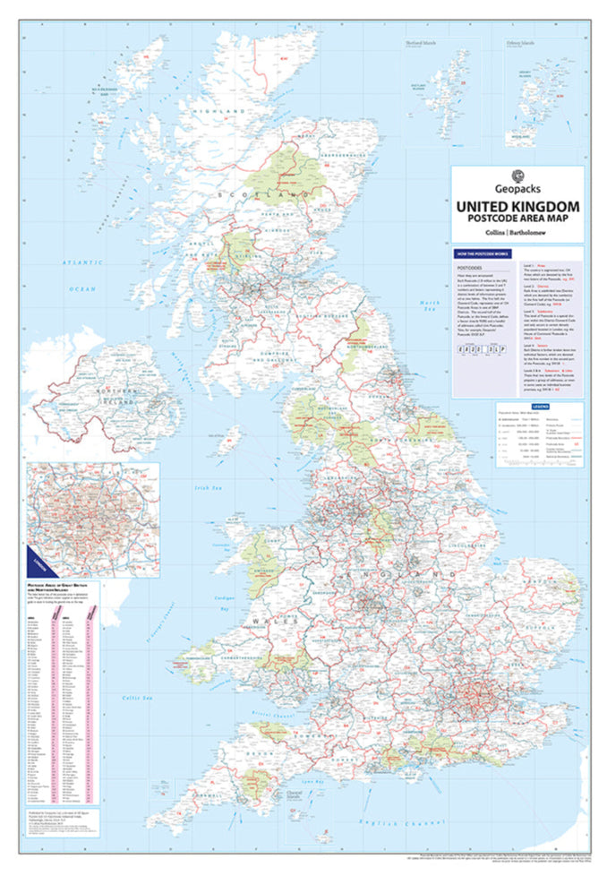