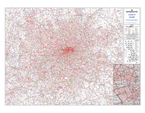
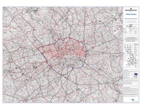
Postcode City Centre Maps
Our range of City Centre Maps combines highly detailed street level mapping with the first part of the postcode and the first number of the second part, or Inward Code for instance SW18 1.
Ideal for detailed planning of delivery routes or catchment areas, the City postcode Sector Maps include all of the postcode changes from the most recent Royal Mail Postcode Update. There are two sheets in the series covering London using the Collins Bartholomew street map base in greyscale. Out of London, cities are covered by Ordnance Survey street mapping that has been specially coloured to highlight the postcodes. On all maps the postcode Area, District and Sector boundaries and names appear prominently in red. You may also wish to review our popular Custom Maps service where we can build postcode maps to your exact specifications.