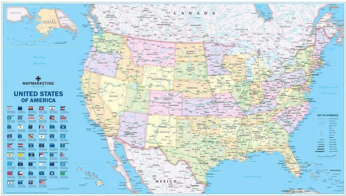
This clean and clear USA political map shows each State in a different colour as well as principal cities and towns divided into six separate population bands. It also shows the main road network with Interstate highways highlighted, railways, main airports, State capitals, State and international boundaries are all marked. The new USA political map also includes a key panel showing the flag for each US State detailing the State capital, population and geographical size.
Size: 67 x 118 cm (26 x 47 inches). Scale: 1:5,700,000 (90 miles to 1 inch)
This map is permanently bonded between two sheets of tough, flexible, crystal-clear plastic. This finish allows you to “write on, wipe off” with dry or wet wipe pens.
USA Political Wall Map

Size: 67 x 118 cm (26 x 47 inches)
Product Code: USA-POL
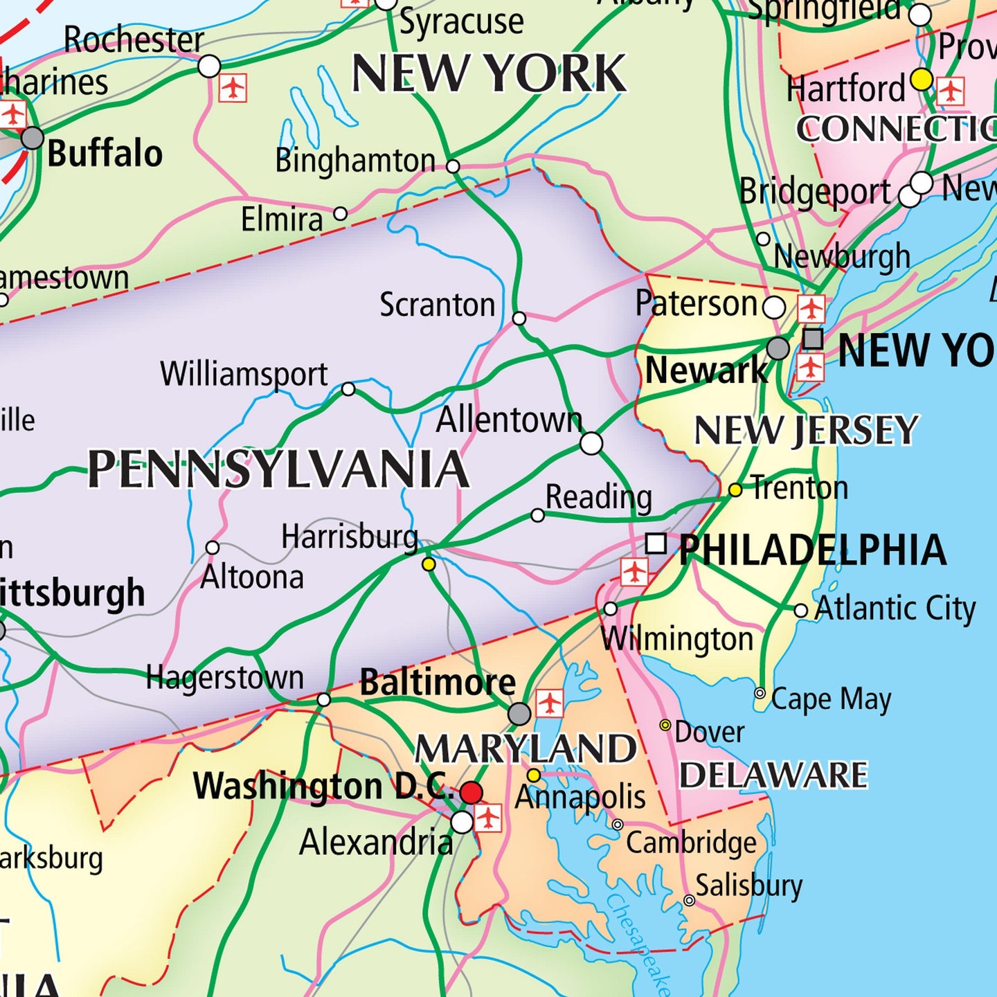
This clean and clear USA political map shows each State in a different colour as well as principal cities and towns divided into six separate population bands. It also shows the main road network with Interstate highways highlighted, railways, main airports, State capitals, State and international boundaries are all marked. The new USA political map also includes a key panel showing the flag for each US State detailing the State capital, population and geographical size.
Size: 67 x 118 cm (26 x 47 inches). Scale: 1:5,700,000 (90 miles to 1 inch)
This map is permanently bonded between two sheets of tough, flexible, crystal-clear plastic. This finish allows you to “write on, wipe off” with dry or wet wipe pens.
REVIEWS