

Postcode District Maps
Postcode maps by District present the complete first half of the Postcode (or Outward Code) with full coverage of Britain across six pre-defined sheets at a scale of an inch to 5 miles. These maps are continuously changed to give you the latest postcode districts from the most recent Royal Mail Postcode Update. The Area and District boundaries appear prominently in red with County and Unitary Authority boundaries displayed in purple. The map base shows motorways, primary and ‘A’ and ‘B’ roads and features conurbation shapes highlighting major towns and cities. Some District sheets also contain large scale city plans within the sheet’s catchment area.
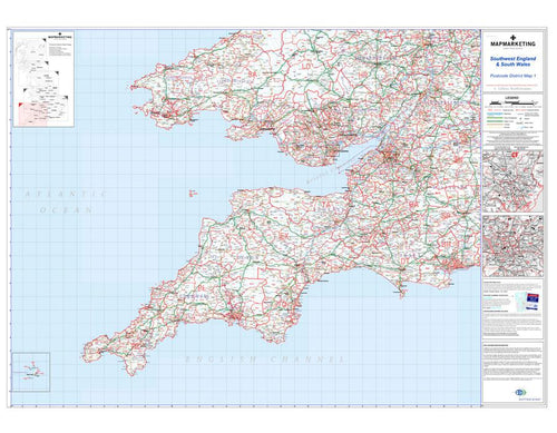
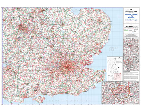
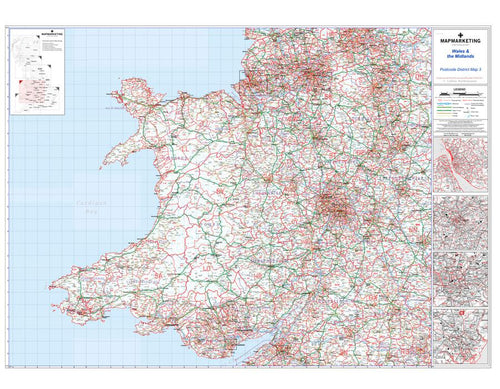
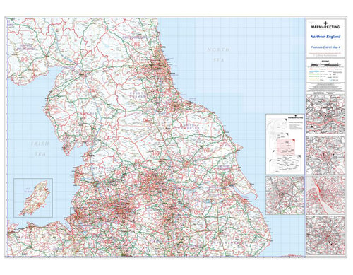
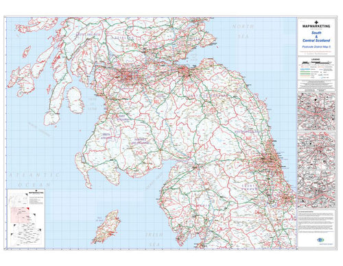

Ideal for business planning the postcode district maps are an essential resource for marketing, logistics and sales. Choose from the 6 available sheets to focus your efforts on a specific area applicable to your business. Alternatively if you need this level of detail from your postcode map for the entire UK the Collins Postcode Atlas provides this information in a compact atlas.