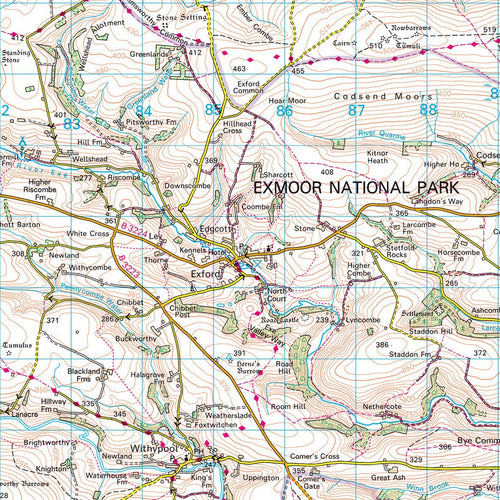
GB National Park Maps
Great Britain's most popular National Parks printed using the Ordnance Surveys iconic outdoors activity, Landranger mapping. Each map shows the whole of the National Park area with additional space around the park boundary.
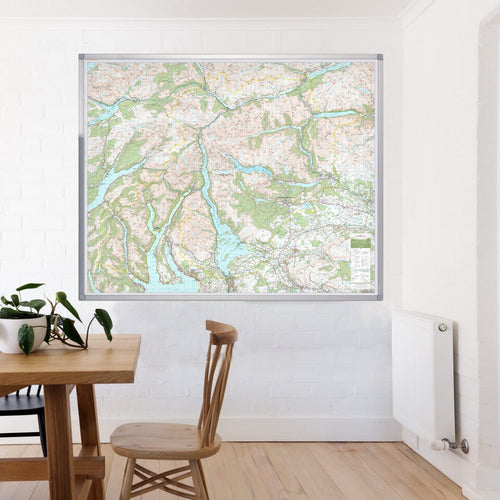
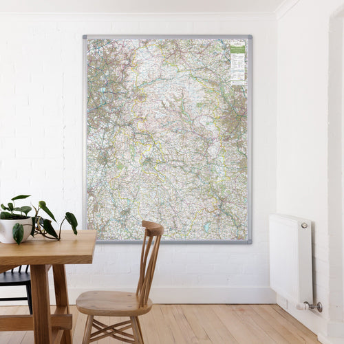
Large format printed wall maps, non-folded, ideal for planning walking routes, cycling trips or just for display. The laminated finish is ideal for non-permanent pens and write on – wipe off use. The framed version has a pin board backing for the use of pins.
Large format printed wall maps, non-folded, ideal for planning walking routes, cycling trips or just for display. The laminated finish is ideal for non-permanent pens and write on – wipe off use. The framed version has a pin board backing for the use of pins.