

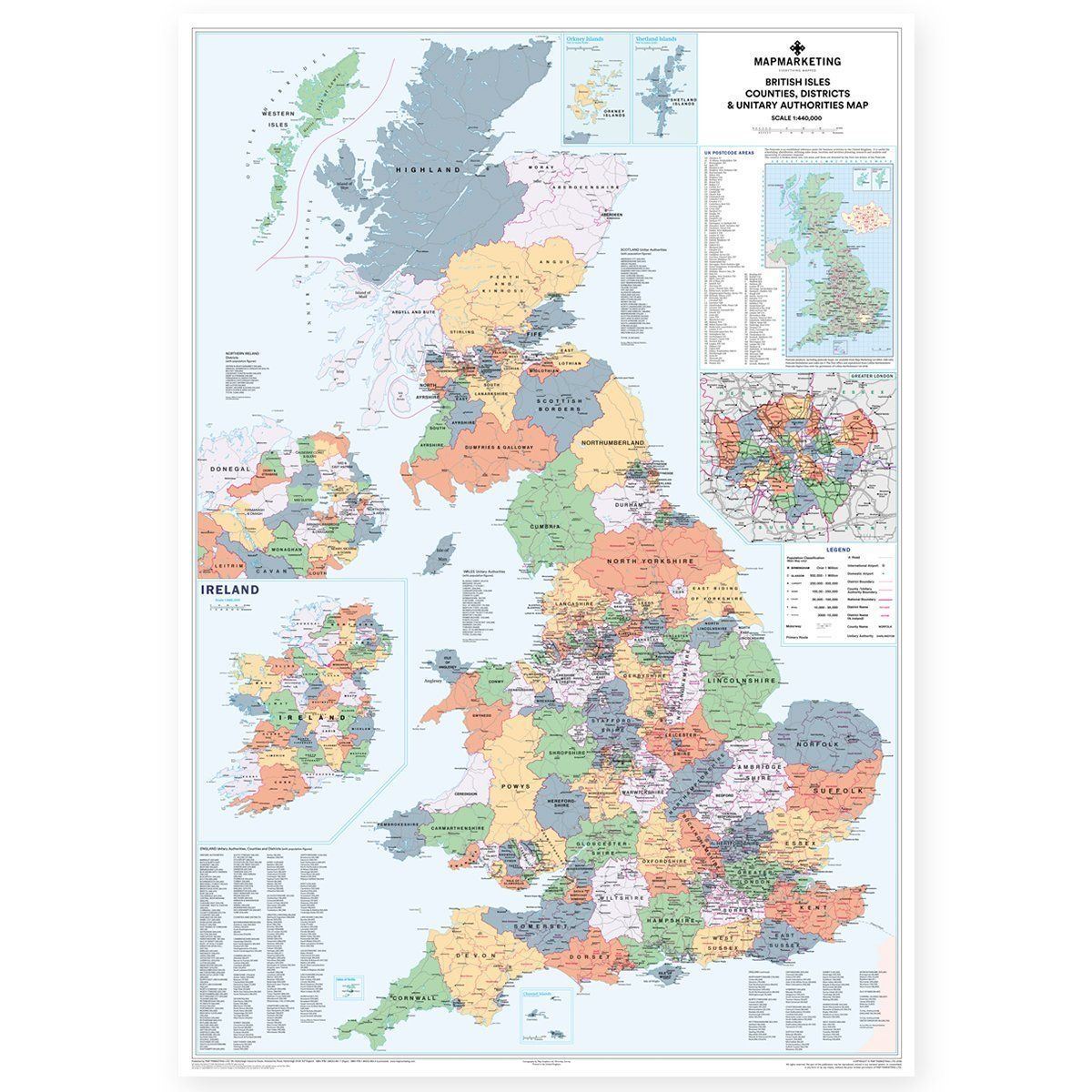


A very detailed map of all the countries found in the United Kingdom.
This map shows all the County, District and Unitary Authority boundaries within the UK and divisions of each County in its local District Council areas are clearly shown. Each area is shown in different colours to differentiate from its neighbours, making it easier to pinpoint each boundary. Includes motorways and primary roads and features seven types of town/city 'stamps' based on population ranging from 2,000 to 1,000,000+ inhabitants. Figures for all the regions shown on the map are given based on information supplied by the Local Government Commission and up-to-date as of 2014.
Specifications:
Size: 120 x 83 cm (47 x 33 inches).
Scale: 1:800 000 (12 miles to 1 inch)