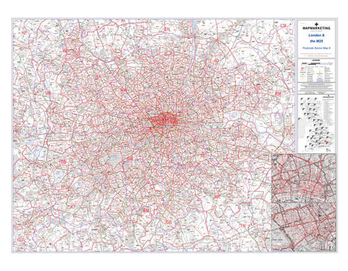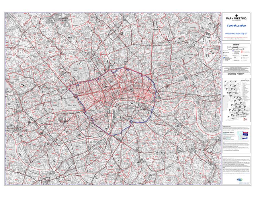


This Postcode Wall Map of Central London displays all of the first part of the postcode and the first number of the second part, or Inward Code, at a scale of an inch to 2.4 miles.
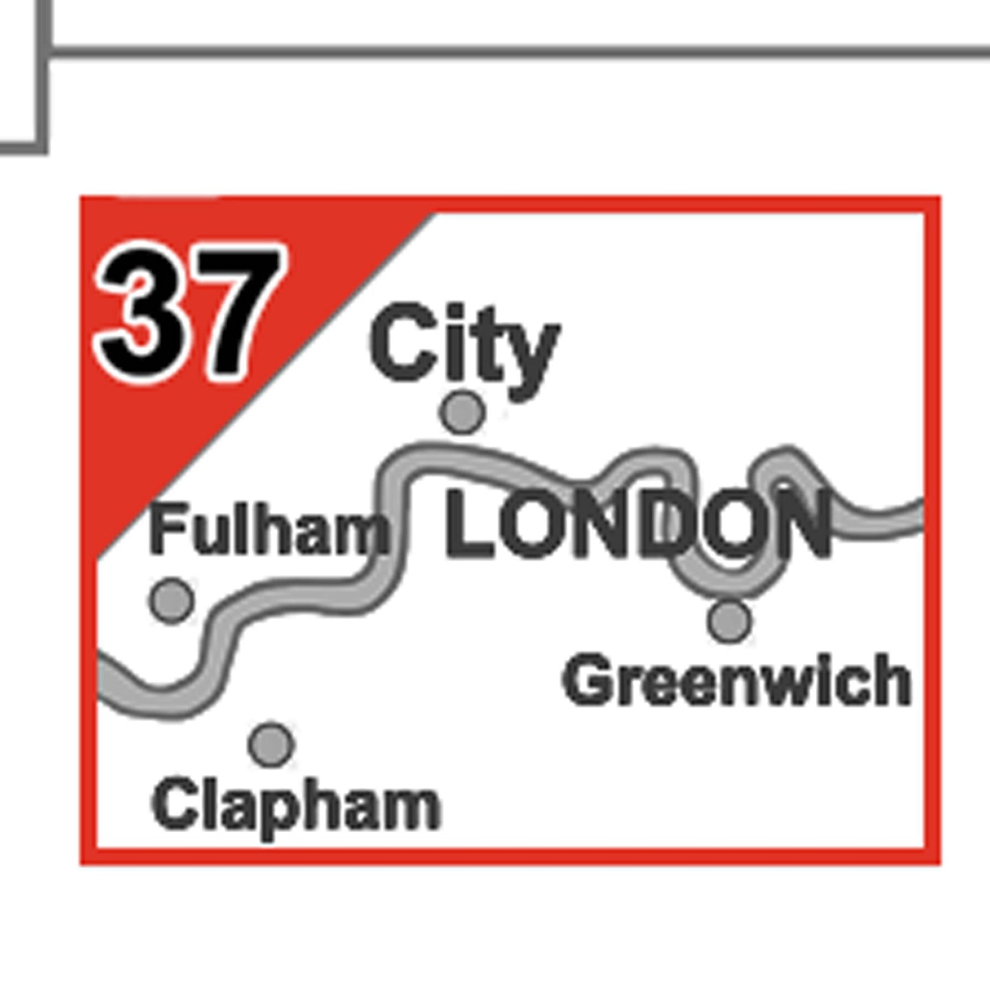
Sector Sheet 37: Central London
Size: 123 x 89 cm (48 x 35 inches)
Scale: 1:15 000 (4.2 inches to 1 mile)
Geographical Coverage Guide:
North: Finsbury Park
South: Clapham Common
East: Isle of Dogs
West: Hammersmith
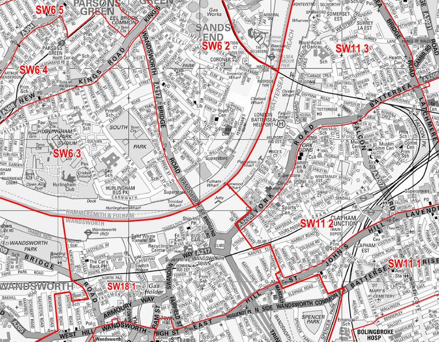
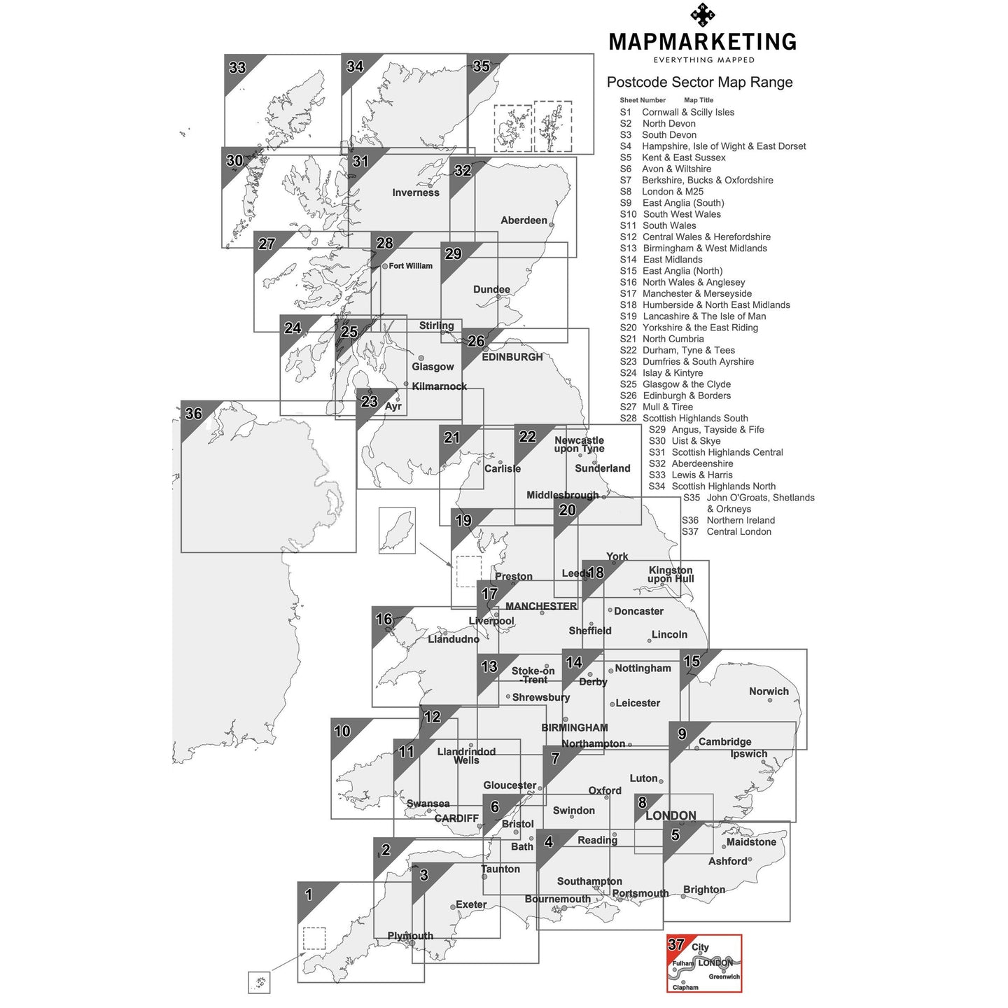
One of 37 pre-defined map sheets that covers the UK at Sector level, this Sector map includes all of the postcode changes in the most recent Royal Mail Postcode update. Area, District and Sector boundaries and numbers/letters are shown in red with County and Unitary Authority boundaries presented in green. The map base shows motorways, primary, ‘A’ and down to unclassified roads with conurbation shapes and city plan insets showing street level detail for major cities.
This map is permanently bonded between two sheets of tough, flexible, crystal-clear plastic. This finish allows you to “write on, wipe off” with dry or wet wipe pens.
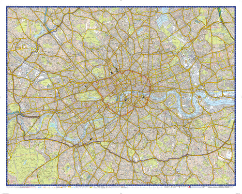
Central London Postcode Wall Map - Sector Map 37

Size: 123 x 89 cm (48 x 35 inches)
Product Code: S37P
This Postcode Wall Map of Central London displays all of the first part of the postcode and the first number of the second part, or Inward Code, at a scale of an inch to 2.4 miles.
Sector Sheet 37: Central London
Size: 123 x 89 cm (48 x 35 inches)
Scale: 1:15 000 (4.2 inches to 1 mile)
Geographical Coverage Guide:
North: Finsbury Park
South: Clapham Common
East: Isle of Dogs
West: Hammersmith
One of 37 pre-defined map sheets that covers the UK at Sector level, this Sector map includes all of the postcode changes in the most recent Royal Mail Postcode update. Area, District and Sector boundaries and numbers/letters are shown in red with County and Unitary Authority boundaries presented in green. The map base shows motorways, primary, ‘A’ and down to unclassified roads with conurbation shapes and city plan insets showing street level detail for major cities.
This map is permanently bonded between two sheets of tough, flexible, crystal-clear plastic. This finish allows you to “write on, wipe off” with dry or wet wipe pens.
REVIEWS