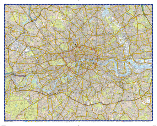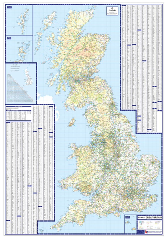


This comprehensive A-Z Road Map of Great Britain offers an extensive and detailed view of the entire region, including England, Scotland, Wales, and the surrounding islands. The map is meticulously designed to provide clear and accurate information for travellers, geographers, and anyone interested in exploring the geography of Great Britain.
Key Features:
- Detailed representation of cities, towns, villages, roads (including motorways), railways, rivers, lakes, and other geographical features.
- Topographical details showcasing elevation changes across the landscape.
- Insets with enlarged views of specific areas for more precise navigation.
- Grid references for easy location identification.
- Clear labelling of major landmarks and points of interest.
- Scale bar indicating distances to help measure travel routes accurately.
- Scale 15.24 Miles to 1 inch/ 9.6km to 1cm
The map is printed on high-quality paper to ensure durability and clarity. It serves as an excellent resource for educational purposes or as a practical tool for planning trips around Great Britain. Whether used by students studying geography or travellers seeking adventure across the UK’s diverse landscapes – this A-Z Road Map provides all necessary details at a glance.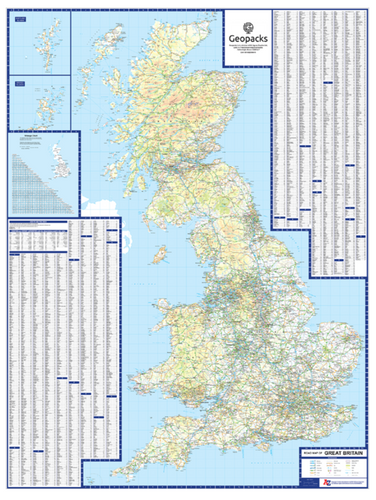