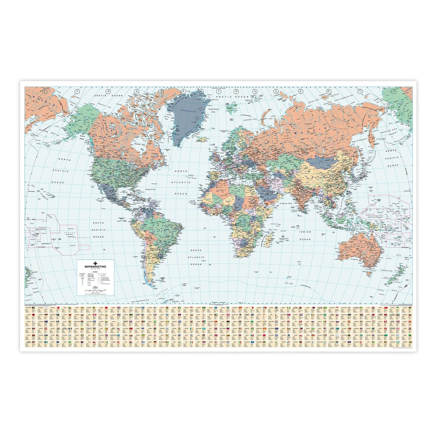
This very detailed Political Wall Map of the World looks fantastic in the office or home. The map features time zone clocks, international airports, primary seaports, main railways as well as international, national and state boundaries. The countries are clearly defined with political colouring and main cities are clearly marked. At the base of the map is a panel displaying the official flag for each country detailing some basic socio-economic information including population and currency. Choose between a variety of frames; black, dark brown and light wood, or choose to have it framed in an aluminium frame or simply just laminated. Now you can also choose to have it printed on self-adhesive wall-paper too.
Specifications:
Size: 83 x 120 cm
Scale 1:34 000 000 (537 miles to 1 inch)
Specifications:
Size: 83 x 120 cm
Scale 1:34 000 000 (537 miles to 1 inch)
World Wall Map Showing Political Detail (Laminated)

Product Code: BEX-18
This very detailed Political Wall Map of the World looks fantastic in the office or home. The map features time zone clocks, international airports, primary seaports, main railways as well as international, national and state boundaries. The countries are clearly defined with political colouring and main cities are clearly marked. At the base of the map is a panel displaying the official flag for each country detailing some basic socio-economic information including population and currency. Choose between a variety of frames; black, dark brown and light wood, or choose to have it framed in an aluminium frame or simply just laminated. Now you can also choose to have it printed on self-adhesive wall-paper too.
Specifications:
Size: 83 x 120 cm
Scale 1:34 000 000 (537 miles to 1 inch)
Specifications:
Size: 83 x 120 cm
Scale 1:34 000 000 (537 miles to 1 inch)
REVIEWS