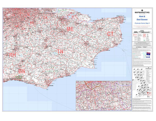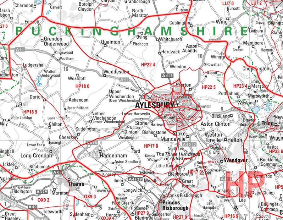
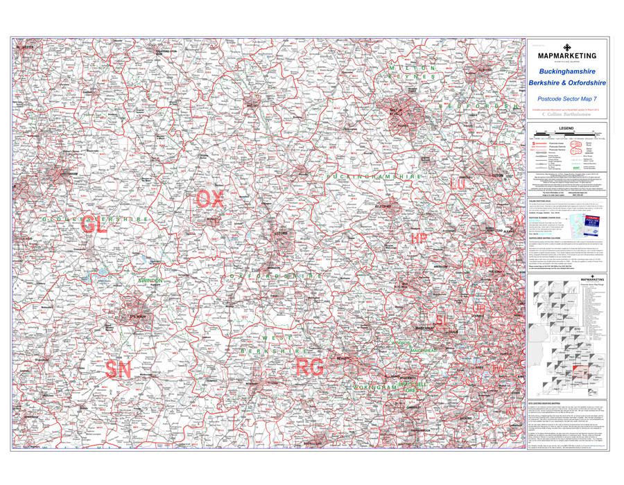
Sector Sheet 7: Berkshire, Buckinghamshire & Oxfordshire
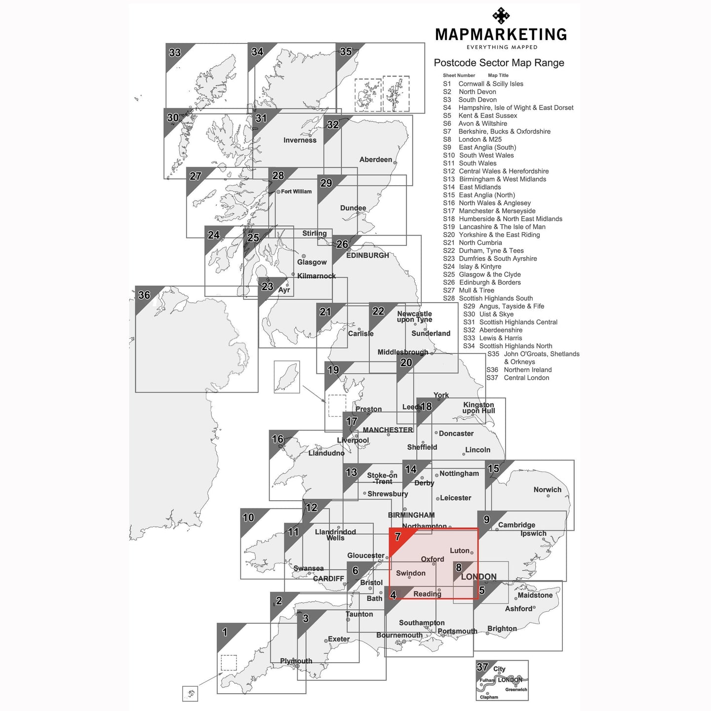
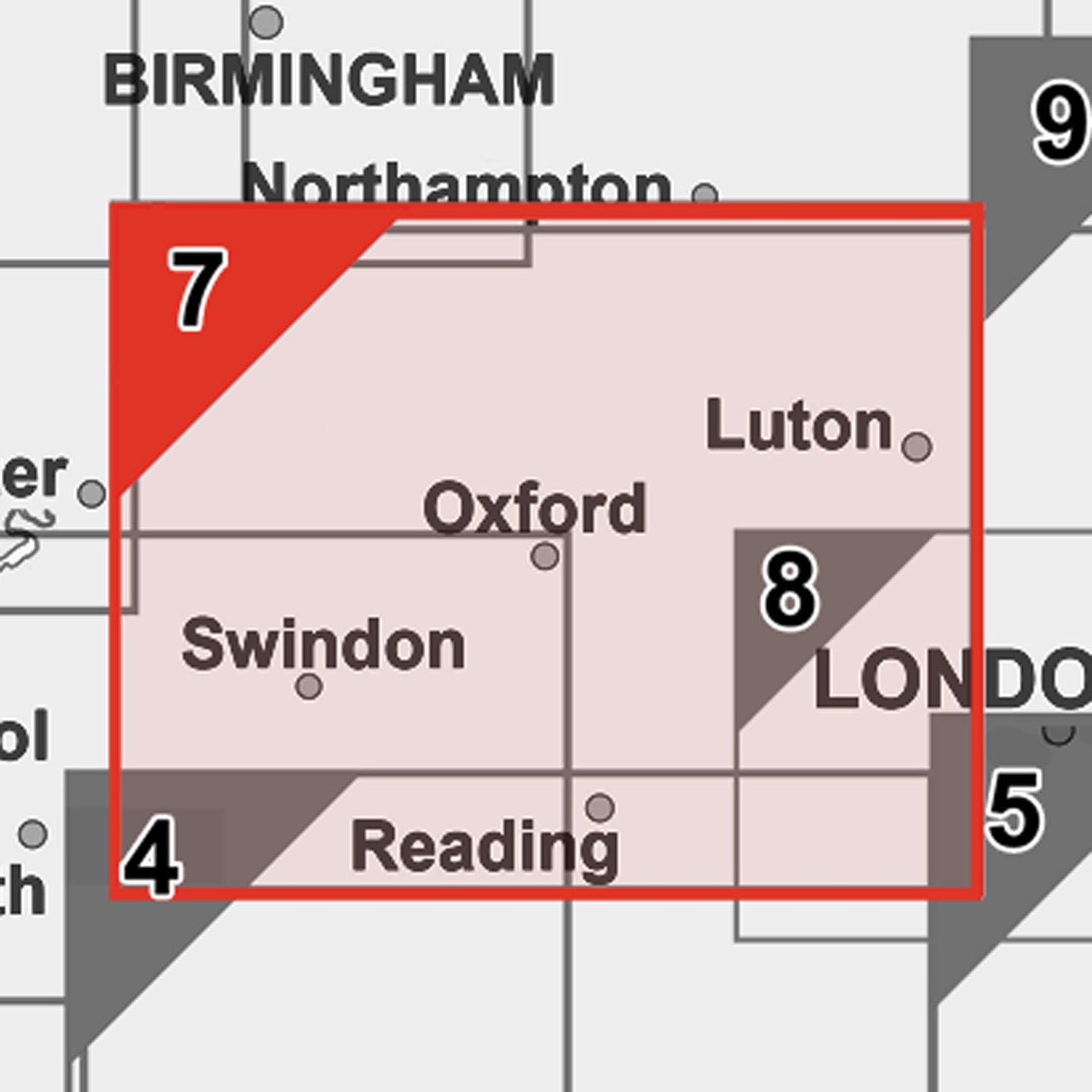
Set on Berkshire, Buckinghamshire and Oxfordshire, this postcode sector map is seventh of 37 pre-defined map sheets that covers the UK displaying all of the first part of the postcode and the first number of the second part, or Inward Code, at a scale of an inch to 2.4 miles. Within this wide area you get to see postcode sector level information for Reading, Oxford and more the area covered includes:
North: Stratford-upon-Avon
South: Basingstoke
East: Corsham
West: Harrow
This Sector map includes all of the postcode changes in the most recent Royal Mail Postcode Update. Area, District and Sector boundaries and numbers/letters are shown in red with County and Unitary Authority boundaries presented in green. The map base shows motorways, primary, ‘A’ and down to unclassified roads with conurbation shapes and city plan insets showing street level detail for major cities.
Specifications:
Size: 73 x 107 cm (29 x 42 inches)
Scale: 1:150 000 (1 inch to 2.4 miles)
Sector Sheet 7: Berkshire, Buckinghamshire & Oxfordshire
Set on Berkshire, Buckinghamshire and Oxfordshire, this postcode sector map is seventh of 37 pre-defined map sheets that covers the UK displaying all of the first part of the postcode and the first number of the second part, or Inward Code, at a scale of an inch to 2.4 miles. Within this wide area you get to see postcode sector level information for Reading, Oxford and more the area covered includes:
North: Stratford-upon-Avon
South: Basingstoke
East: Corsham
West: Harrow
This Sector map includes all of the postcode changes in the most recent Royal Mail Postcode Update. Area, District and Sector boundaries and numbers/letters are shown in red with County and Unitary Authority boundaries presented in green. The map base shows motorways, primary, ‘A’ and down to unclassified roads with conurbation shapes and city plan insets showing street level detail for major cities.
Specifications:
Size: 73 x 107 cm (29 x 42 inches)
Scale: 1:150 000 (1 inch to 2.4 miles)