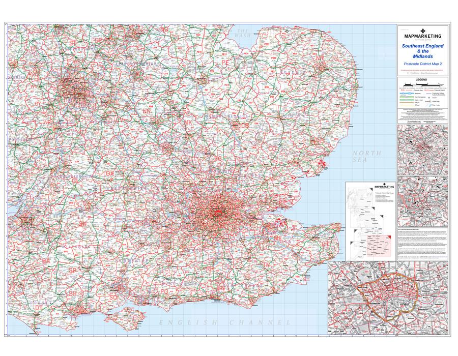
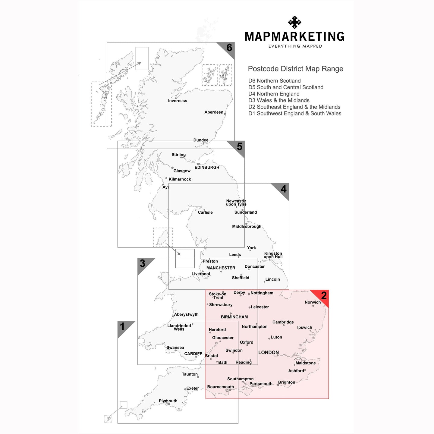
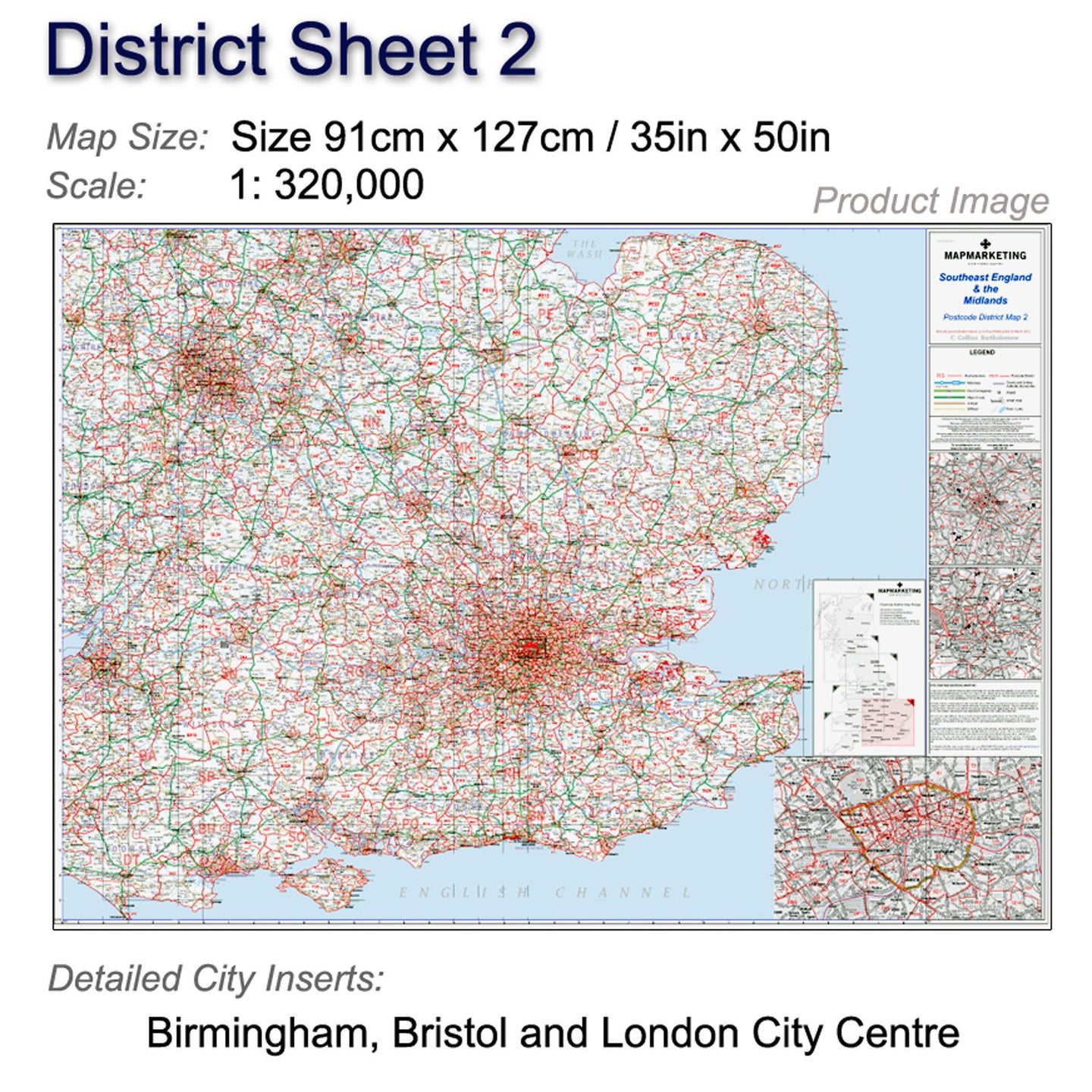
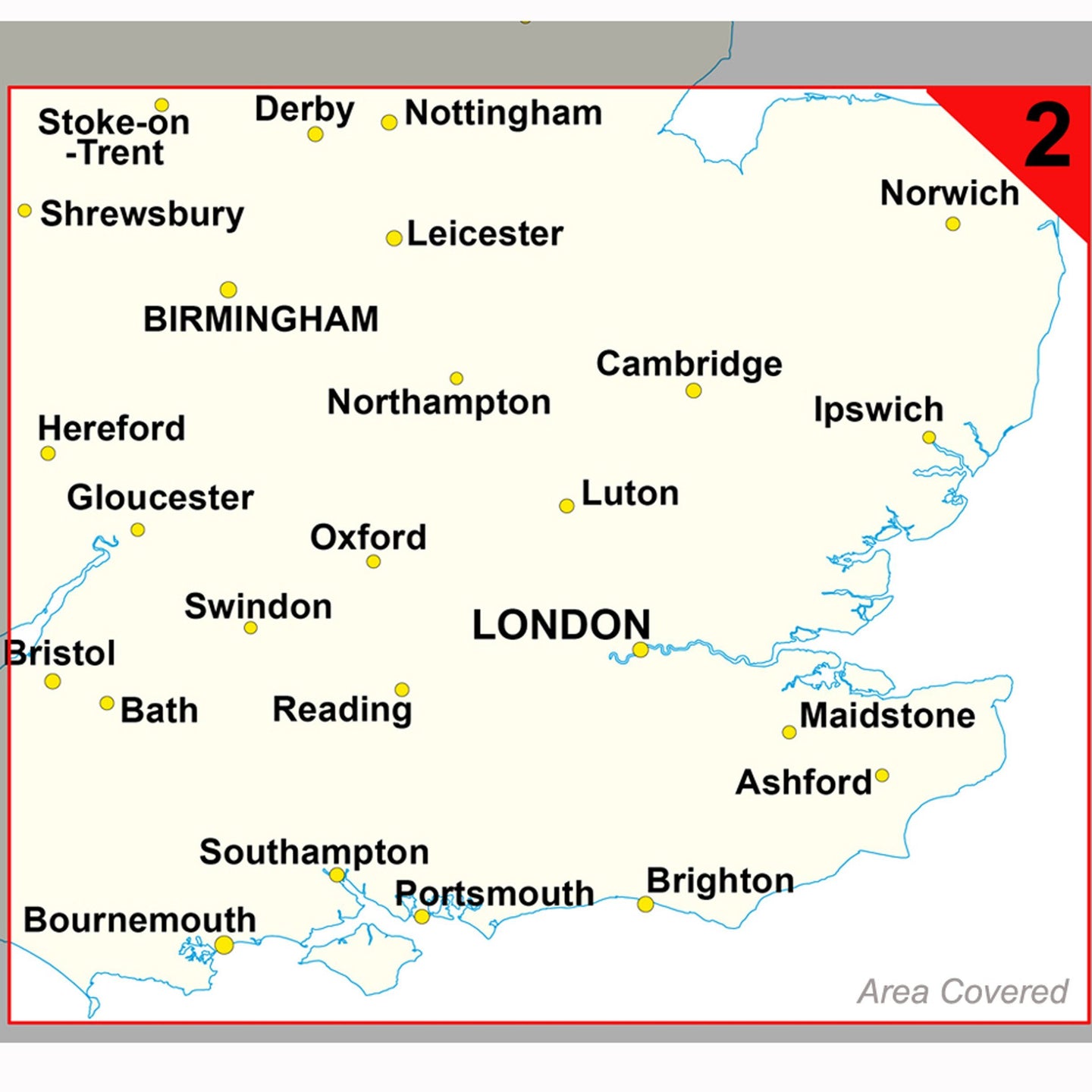
Postcode Wall Map of Southeast England & the Midlands - District Map 2
This postcode district map displays the complete first half of the Postcode (or Outward Code) for Southeast England & Midlands includes Birmingham, Bristol and London. This map covers the following area:
North: Nottingham
South: Isle of Wight
East: Broadstairs
West: Hereford
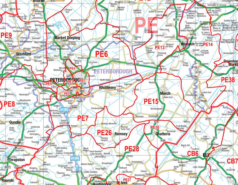
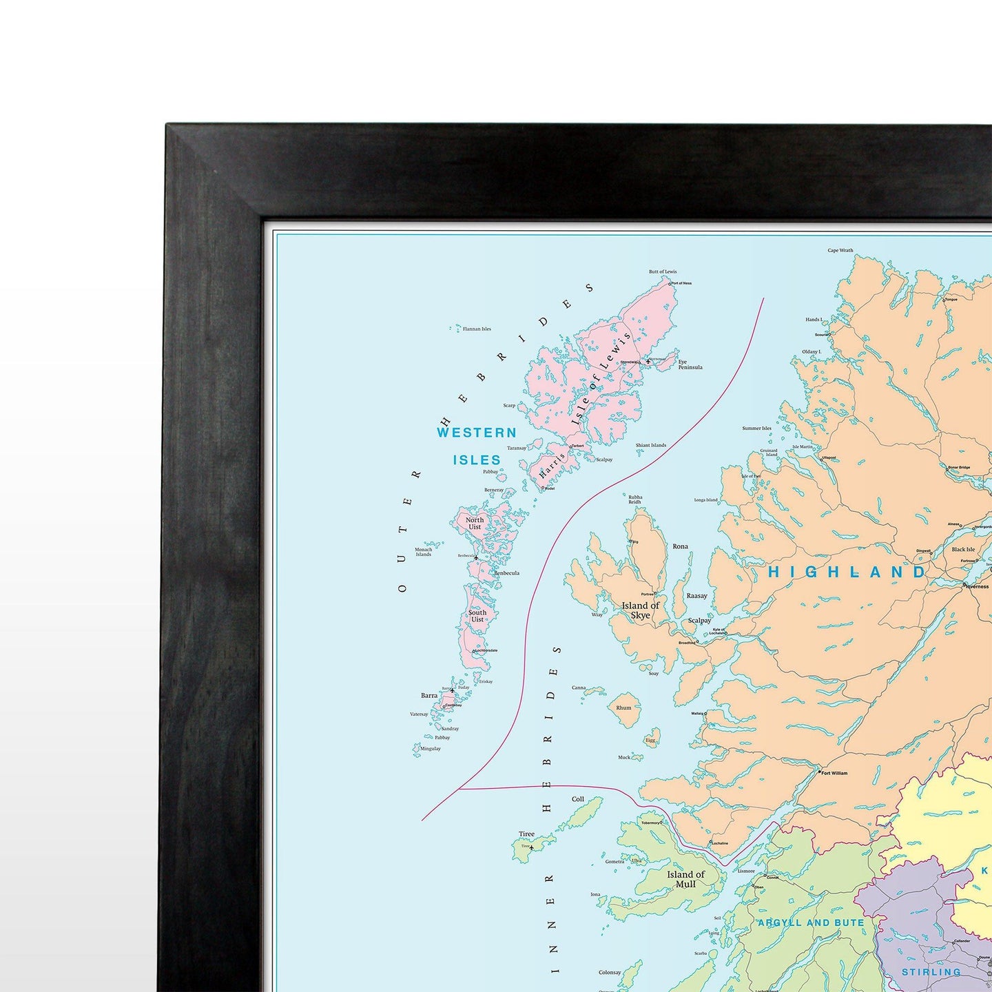
This postcode map is the second of six pre-defined sheets that covers Britain at a scale of an inch to 5 miles. The District maps include all of the Postcode changes from the most recent Royal Mail Postcode Update. The Area and District boundaries appear prominently in red with County and Unitary Authority boundaries displayed in purple. The map base shows motorways, primary and ‘A’ and ‘B’ roads and features conurbation shapes highlighting major towns and cities.
This postcode district map also contain large scale city plans for Birmingham, Bristol and London to give you a more comprehensive view of the postcodes within this area.
All framed items come with a laminated finish.
Specifications:
- Size: 91 x 127 cm (35 x 50 inches)
- Scale: 1:320,000
- City Inserts: Birmingham, Bristol & London City Centre
Postcode Wall Map of Southeast England & the Midlands - District Map 2
This postcode district map displays the complete first half of the Postcode (or Outward Code) for Southeast England & Midlands includes Birmingham, Bristol and London. This map covers the following area:
North: Nottingham
South: Isle of Wight
East: Broadstairs
West: Hereford
This postcode map is the second of six pre-defined sheets that covers Britain at a scale of an inch to 5 miles. The District maps include all of the Postcode changes from the most recent Royal Mail Postcode Update. The Area and District boundaries appear prominently in red with County and Unitary Authority boundaries displayed in purple. The map base shows motorways, primary and ‘A’ and ‘B’ roads and features conurbation shapes highlighting major towns and cities.
This postcode district map also contain large scale city plans for Birmingham, Bristol and London to give you a more comprehensive view of the postcodes within this area.
All framed items come with a laminated finish.
Specifications:
- Size: 91 x 127 cm (35 x 50 inches)
- Scale: 1:320,000
- City Inserts: Birmingham, Bristol & London City Centre