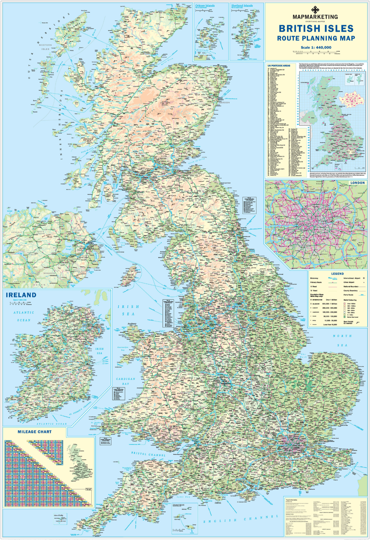
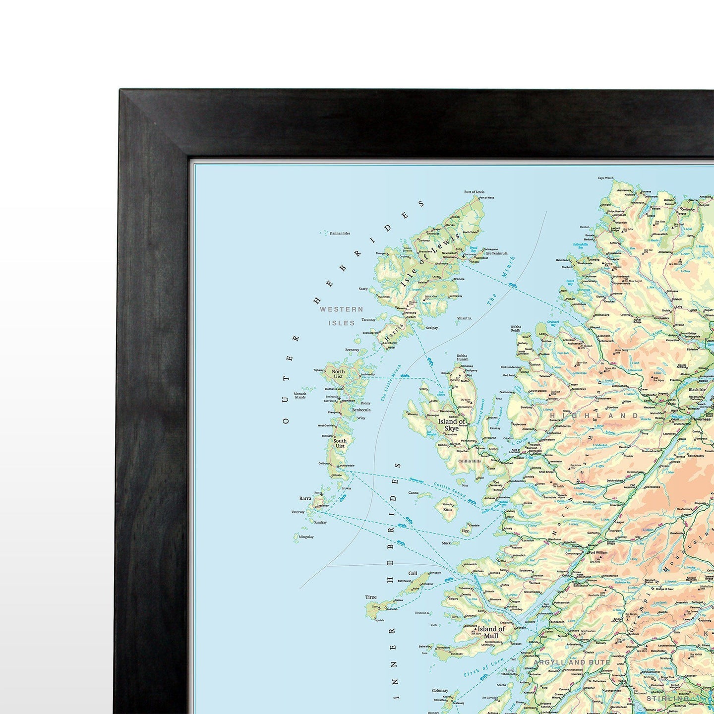


Road Wall Map of the UK and the island of Ireland, showing all motorways and 'A' roads.
The ultimate road wall map of the UK.
This map is ideal for planning travel either for business or pleasure. On a green map base with full relief colouring (to give you an idea of hilly or mountainous areas) are shown motorways and all roads, with roads shown on the London inset (the area within the M25) only. County and Unitary Authority boundaries are also shown, with the keys to the names of these where space constraints prevent them from being displayed on the map base itself.
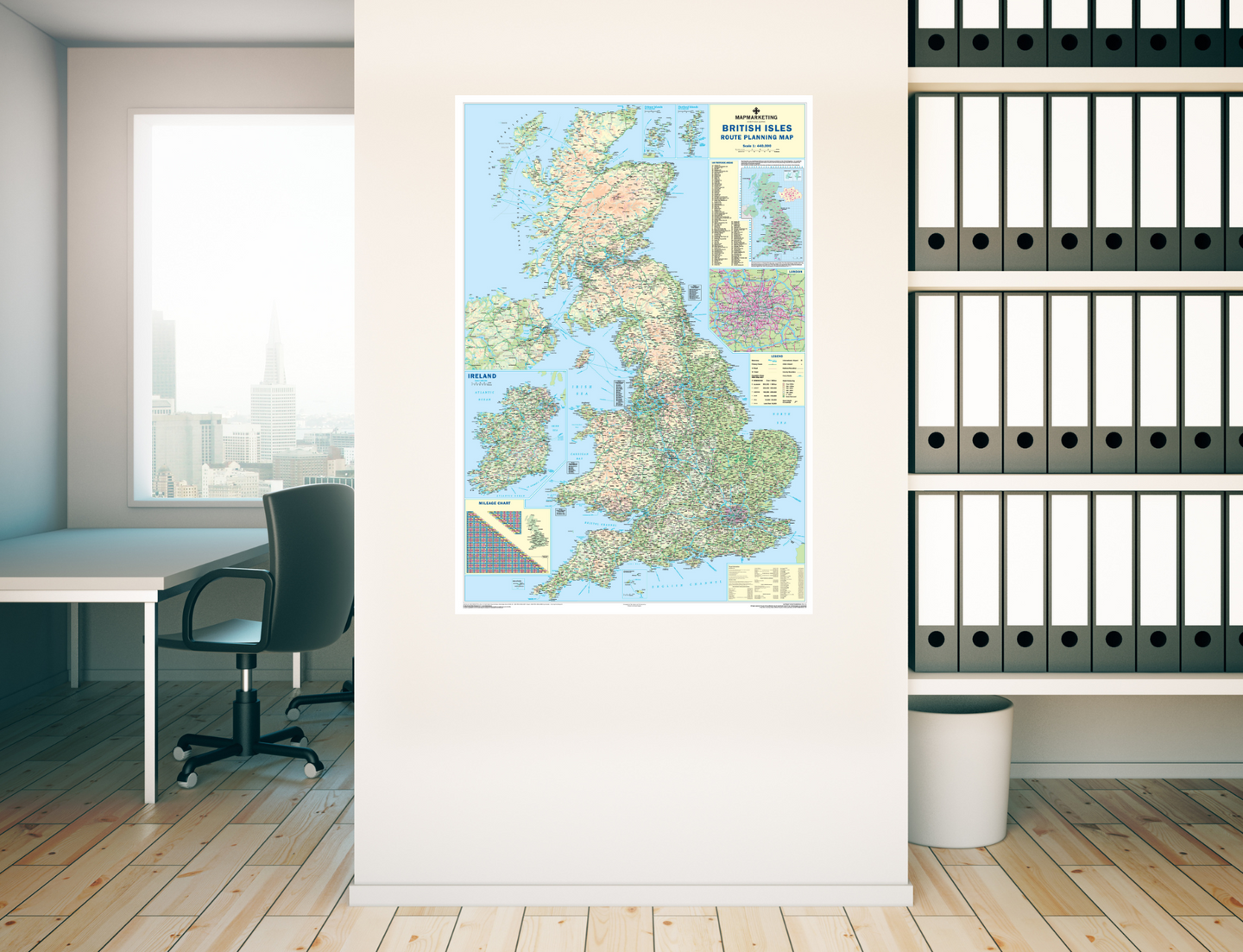
An inset box in the bottom right-hand corner of the map presents useful travel information; all rail company and selected ferry company telephone booking numbers, as well as contact numbers and flight codes for all major national and international airports within the UK. Another inset shows the whole of Ireland at a scale of 1:1,600,000.
There is also an inset outlining Postcode Areas for the whole of the UK. Two useful mileage charts are printed on the map indicating distances between 48 GB and 18 Irish towns and cities.
Size: 120 x 83 cm (47 x 33 inches). Scale: 1:800 000 (12.5 miles to 1 inch)
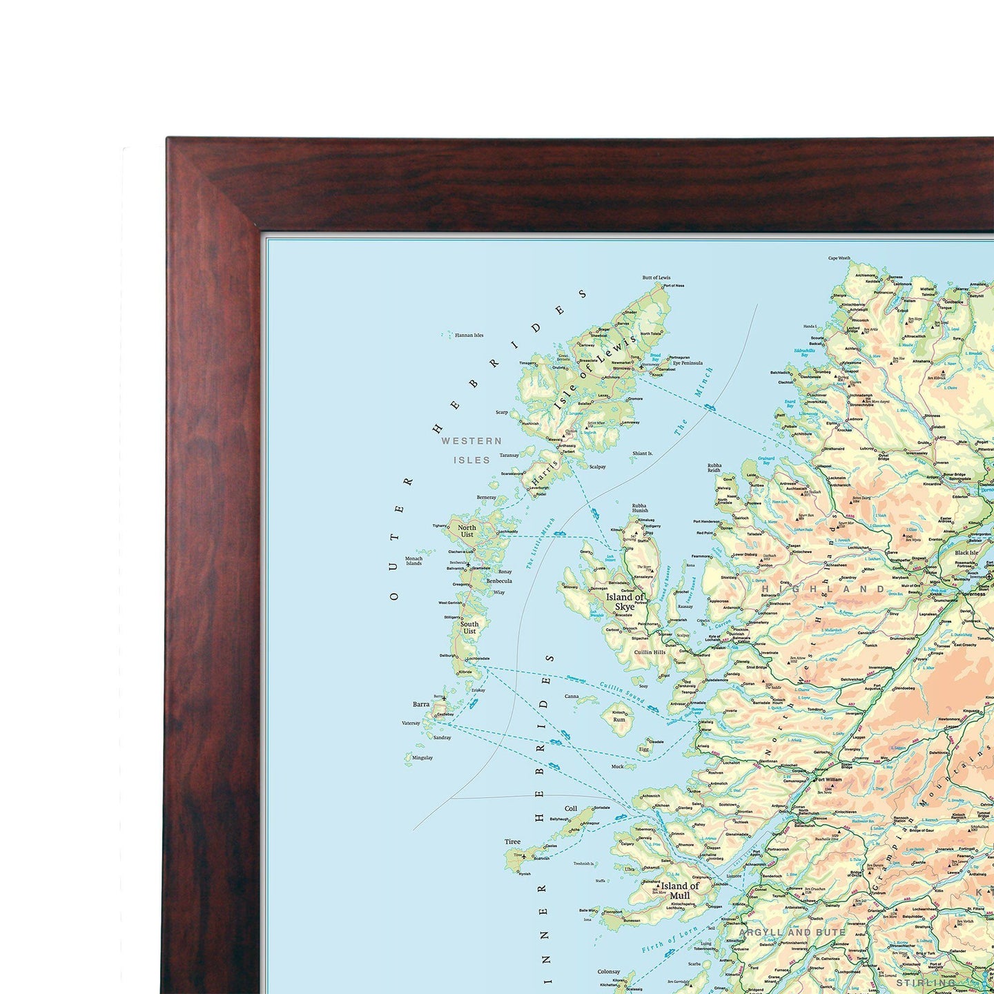
This map is permanently bonded between two sheets of tough, flexible, crystal-clear plastic. This finish allows you to write on, wipe off with dry or wet wipe pens. This map is also available laminated and framed in either superb satin-finish aluminium or light, black or dark wood supplied ready to display.
Need a larger map? See our supersize version of this map.
British Isles Motoring Map - Road Wall Map of UK and Ireland

Size: 120 x 83 cm (47 x 33 inches)
Product Code: BIM
Road Wall Map of the UK and the island of Ireland, showing all motorways and 'A' roads.
The ultimate road wall map of the UK.
This map is ideal for planning travel either for business or pleasure. On a green map base with full relief colouring (to give you an idea of hilly or mountainous areas) are shown motorways and all roads, with roads shown on the London inset (the area within the M25) only. County and Unitary Authority boundaries are also shown, with the keys to the names of these where space constraints prevent them from being displayed on the map base itself.
An inset box in the bottom right-hand corner of the map presents useful travel information; all rail company and selected ferry company telephone booking numbers, as well as contact numbers and flight codes for all major national and international airports within the UK. Another inset shows the whole of Ireland at a scale of 1:1,600,000.
There is also an inset outlining Postcode Areas for the whole of the UK. Two useful mileage charts are printed on the map indicating distances between 48 GB and 18 Irish towns and cities.
Size: 120 x 83 cm (47 x 33 inches). Scale: 1:800 000 (12.5 miles to 1 inch)
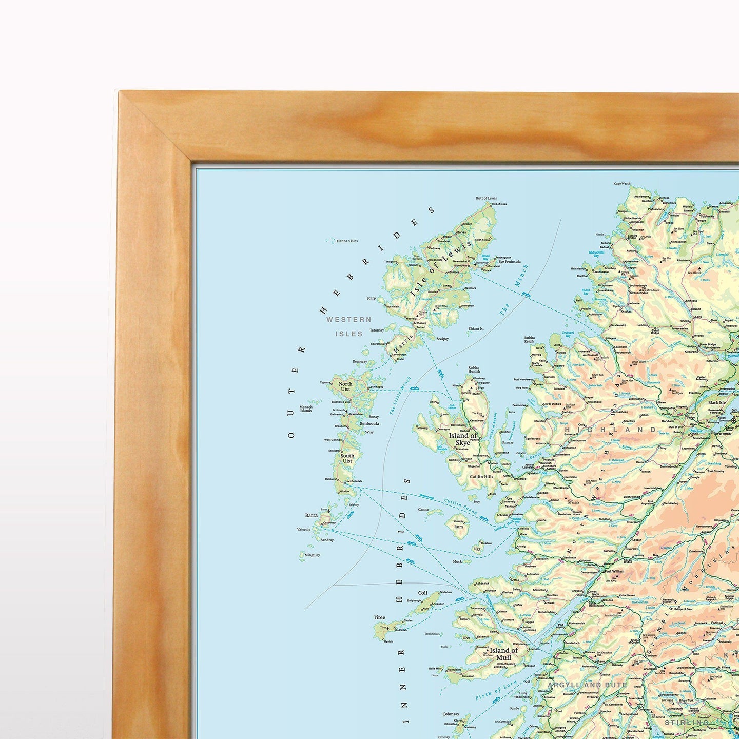
This map is permanently bonded between two sheets of tough, flexible, crystal-clear plastic. This finish allows you to write on, wipe off with dry or wet wipe pens. This map is also available laminated and framed in either superb satin-finish aluminium or light, black or dark wood supplied ready to display.
Need a larger map? See our supersize version of this map.
REVIEWS