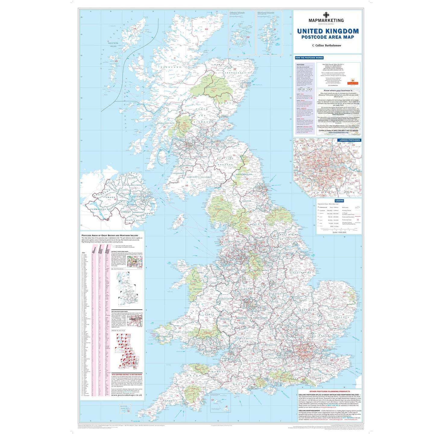

A wall map of the UK showing the Postcode Area boundaries and the County and Unitary Authority boundary information.
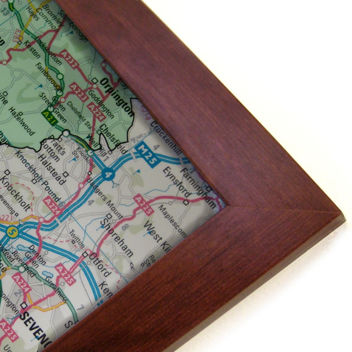
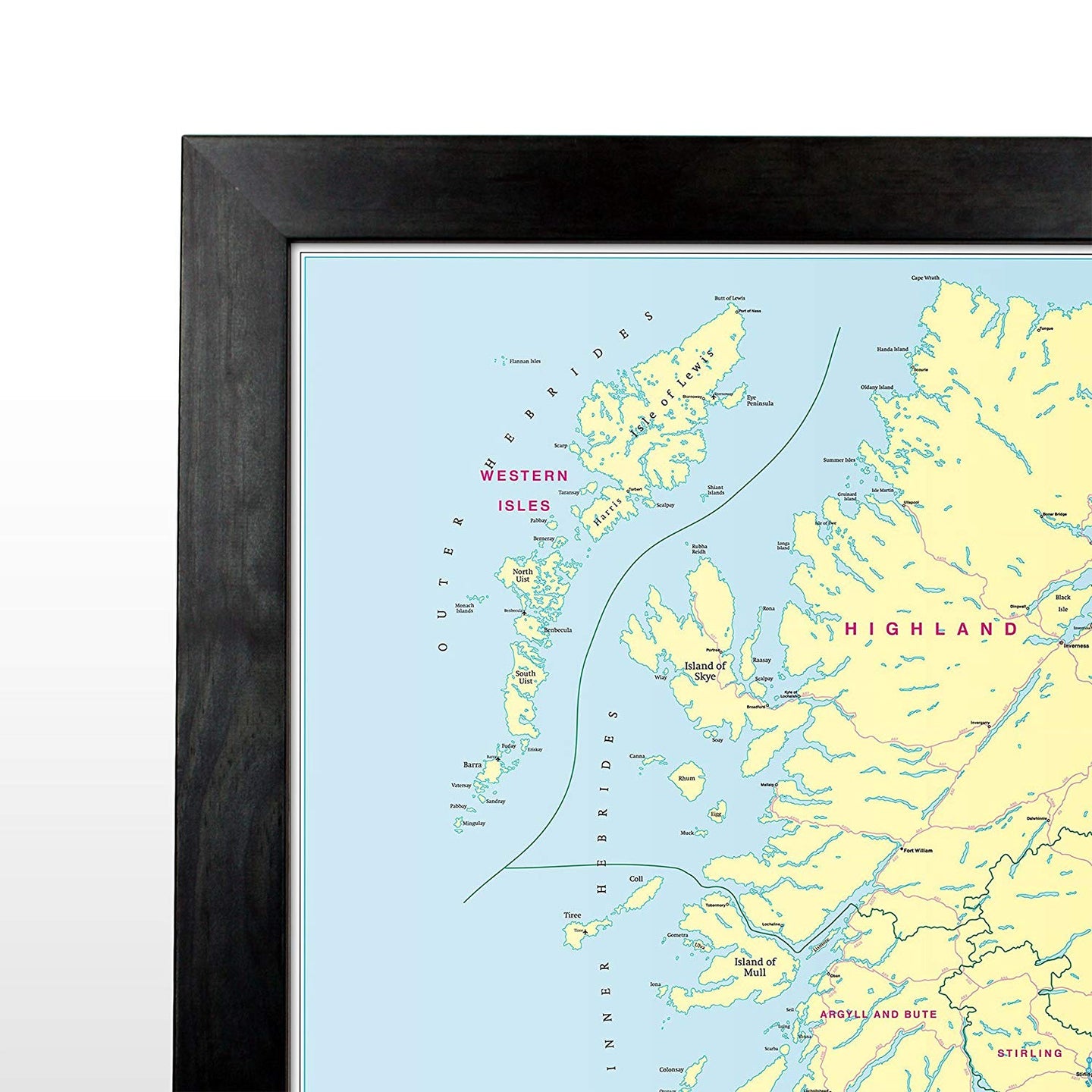
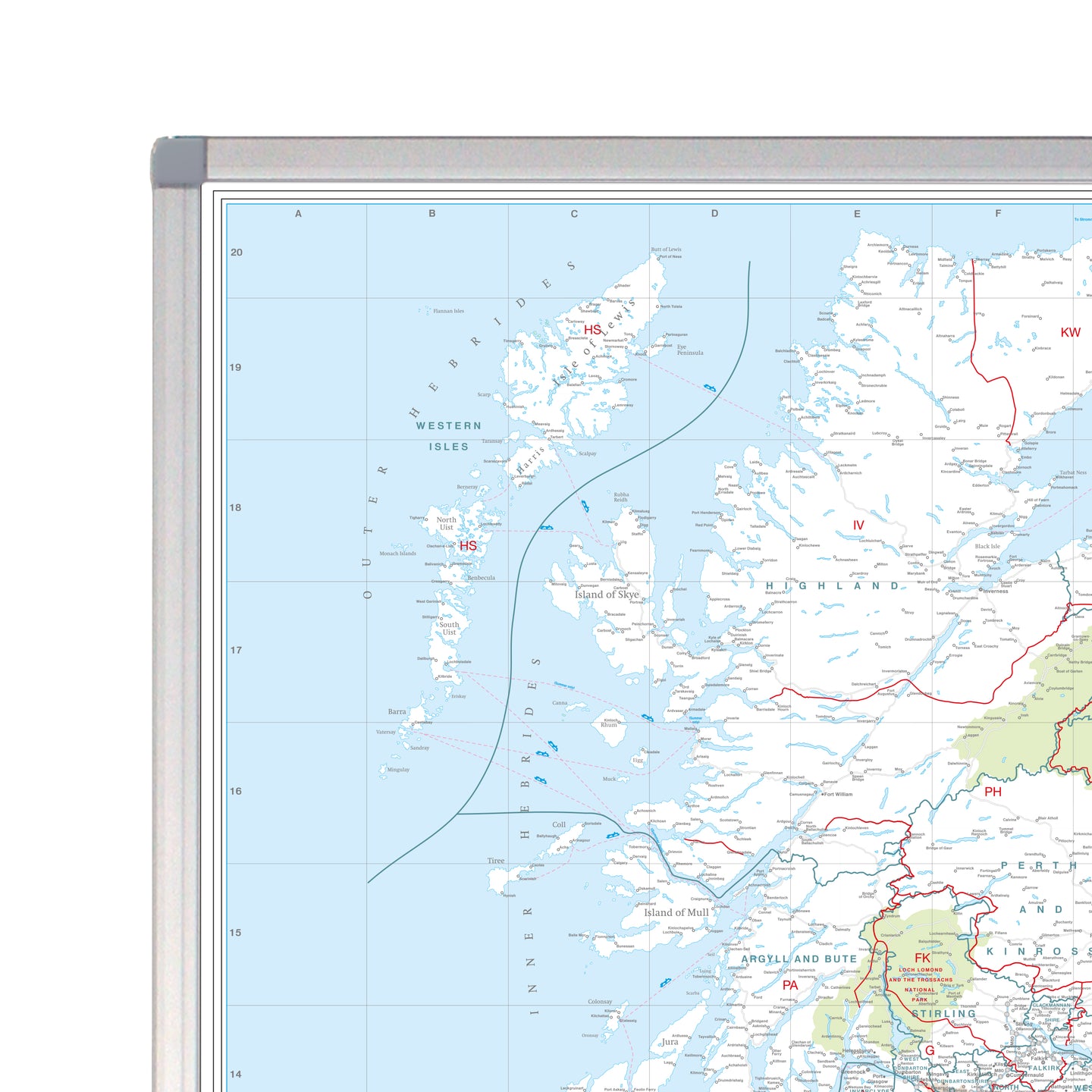
This excellent business planning map presents both the Postcode Area boundaries and the most up-to-date County and Unitary Authority boundary information for the whole of the UK. Clearly shown on a black-and-white base map (with national parks highlighted in pale green), the Postcode Area boundaries and their corresponding letters are displayed in red with County and Unitary Authority boundaries shown in dark green. The map base contains motorways, primary roads (plus roads in London) and features seven types of town/city stamps based on populations ranging from 2,000 to 1,000,000 plus inhabitants. Due to the large number of Postcode Areas within metropolitan London, the map also contains a more detailed inset (1 inch to 4 miles) of the area within the M25 motorway.
This map also features a handy index detailing all 124 Postcode Areas (including the name of each Area's main postal town/city) enabling users to quickly locate an Area on the map. In addition, this postcode area map provides detailed definitions of the different levels of Postcode detail (Area, District and Sector) and how they are structured.
Please Note: Our GB Postcode Area Map is updated and reprinted annually ensuring you receive the most current Area boundary information available.
Specifications:
Size: 120 x 83 cm (47 x 33 inches)
Scale: 1:800 000 (12 miles to 1 inch)
Looking for a bigger map? This is also available as a Supersize wall map.


UK Postcode Wall Map - Postcode Areas Map of Great Britain & NI

Size: 120 x 83 cm (47 x 33 inches)
Product Code: BIPA
A wall map of the UK showing the Postcode Area boundaries and the County and Unitary Authority boundary information.
This excellent business planning map presents both the Postcode Area boundaries and the most up-to-date County and Unitary Authority boundary information for the whole of the UK. Clearly shown on a black-and-white base map (with national parks highlighted in pale green), the Postcode Area boundaries and their corresponding letters are displayed in red with County and Unitary Authority boundaries shown in dark green. The map base contains motorways, primary roads (plus roads in London) and features seven types of town/city stamps based on populations ranging from 2,000 to 1,000,000 plus inhabitants. Due to the large number of Postcode Areas within metropolitan London, the map also contains a more detailed inset (1 inch to 4 miles) of the area within the M25 motorway.
This map also features a handy index detailing all 124 Postcode Areas (including the name of each Area's main postal town/city) enabling users to quickly locate an Area on the map. In addition, this postcode area map provides detailed definitions of the different levels of Postcode detail (Area, District and Sector) and how they are structured.
Please Note: Our GB Postcode Area Map is updated and reprinted annually ensuring you receive the most current Area boundary information available.
Specifications:
Size: 120 x 83 cm (47 x 33 inches)
Scale: 1:800 000 (12 miles to 1 inch)
Looking for a bigger map? This is also available as a Supersize wall map.
REVIEWS