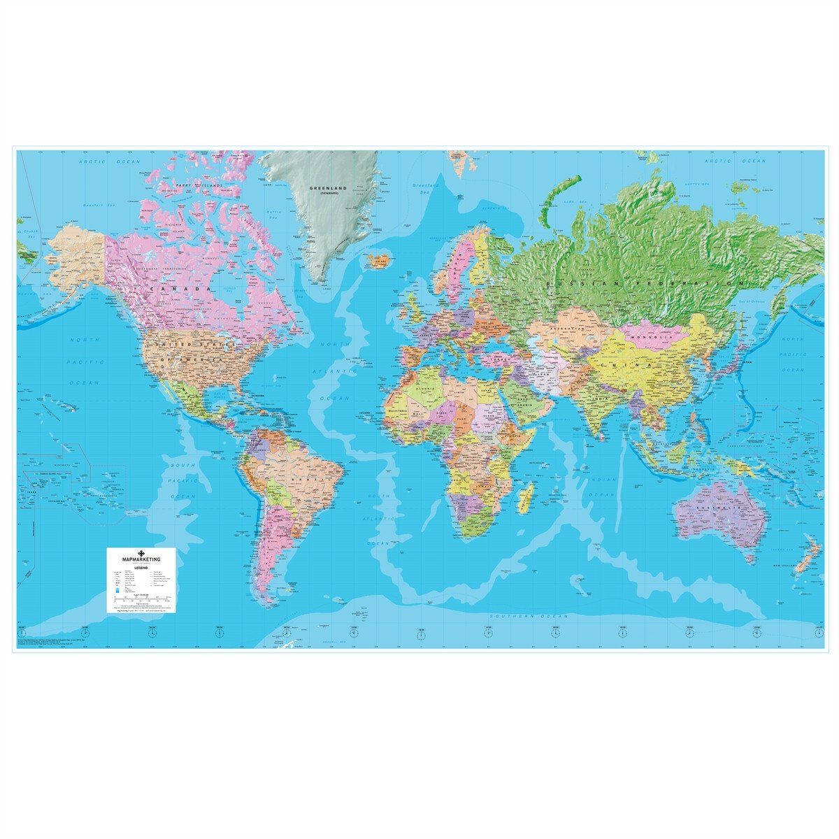
Extra Large Political Wall Map of the World
This extra-large laminated map of the world is based on the Mercator Projection and is ideal for both business and educational purposes, or even simply as a stunning wall display.
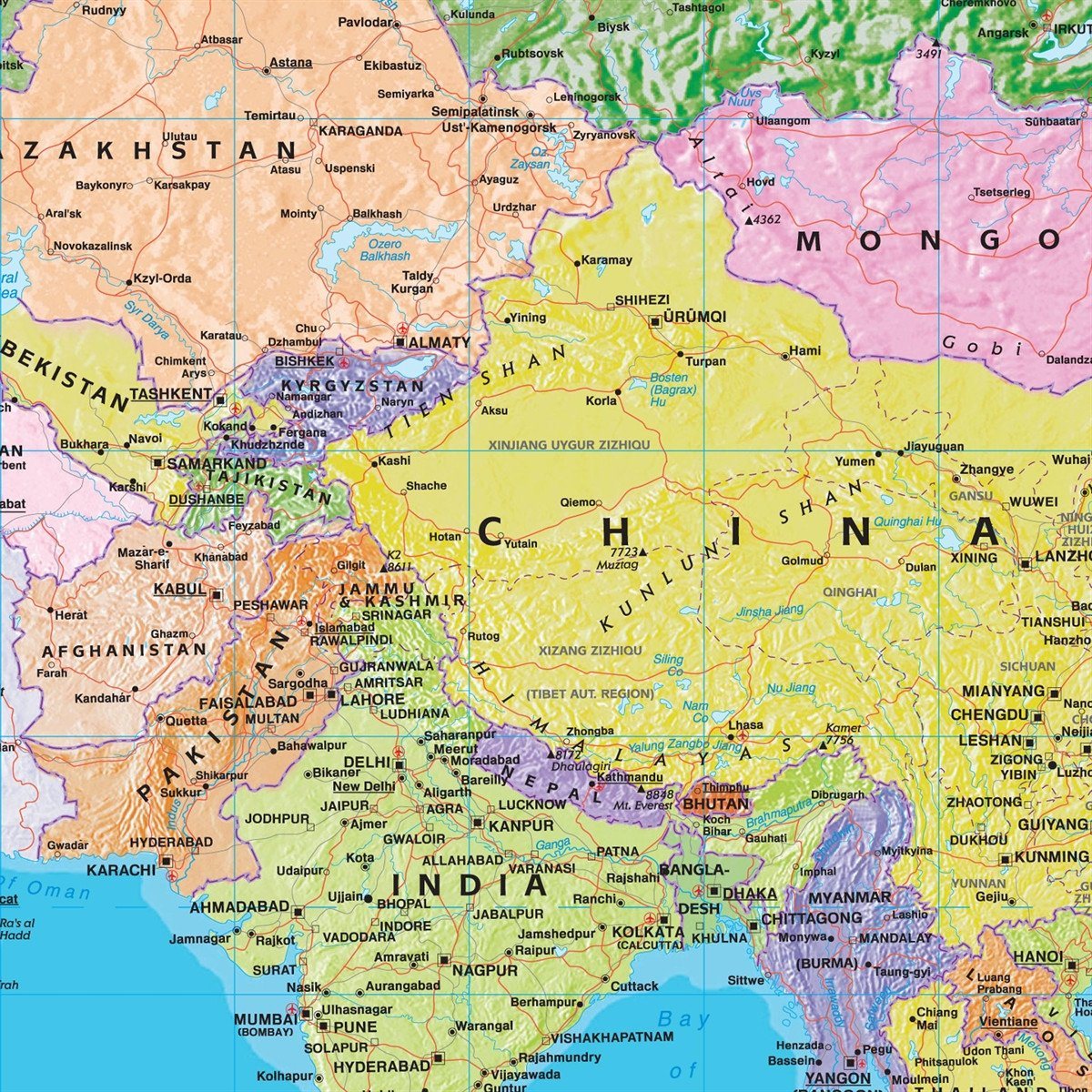
The exceptionally clear format shows political boundaries with each country depicted in a different vibrant colour to its immediate neighbours. This laminated world map is further enhanced by coloured relief and ocean depth depictions, thus adding a striking textured effect and providing an element of physical representation to this political map.
International time zones are depicted along the bottom of the map. Cities are depicted in five population bands, and the map also shows principal roads and railways, international boundaries (indicating those which are disputed) as well as state boundaries within countries. Capital cities of both countries and states are displayed, and international airports and seaports are shown.
- Size: 120 x 184 cm
- Scale: 1:20 000 000 (315 miles to 1 inch)
The map is permanently bonded between two sheets of tough, flexible, crystal-clear plastic. This finish allows you to “write on, wipe off” with dry or wet wipe pens. The map is also available laminated and framed in superb satin-finish aluminium and is supplied ready to display.
Giant World Political Wall Map

Size: 120 x 184 cm
Product Code: GWLD
Extra Large Political Wall Map of the World
This extra-large laminated map of the world is based on the Mercator Projection and is ideal for both business and educational purposes, or even simply as a stunning wall display.
The exceptionally clear format shows political boundaries with each country depicted in a different vibrant colour to its immediate neighbours. This laminated world map is further enhanced by coloured relief and ocean depth depictions, thus adding a striking textured effect and providing an element of physical representation to this political map.
International time zones are depicted along the bottom of the map. Cities are depicted in five population bands, and the map also shows principal roads and railways, international boundaries (indicating those which are disputed) as well as state boundaries within countries. Capital cities of both countries and states are displayed, and international airports and seaports are shown.
- Size: 120 x 184 cm
- Scale: 1:20 000 000 (315 miles to 1 inch)
The map is permanently bonded between two sheets of tough, flexible, crystal-clear plastic. This finish allows you to “write on, wipe off” with dry or wet wipe pens. The map is also available laminated and framed in superb satin-finish aluminium and is supplied ready to display.
REVIEWS