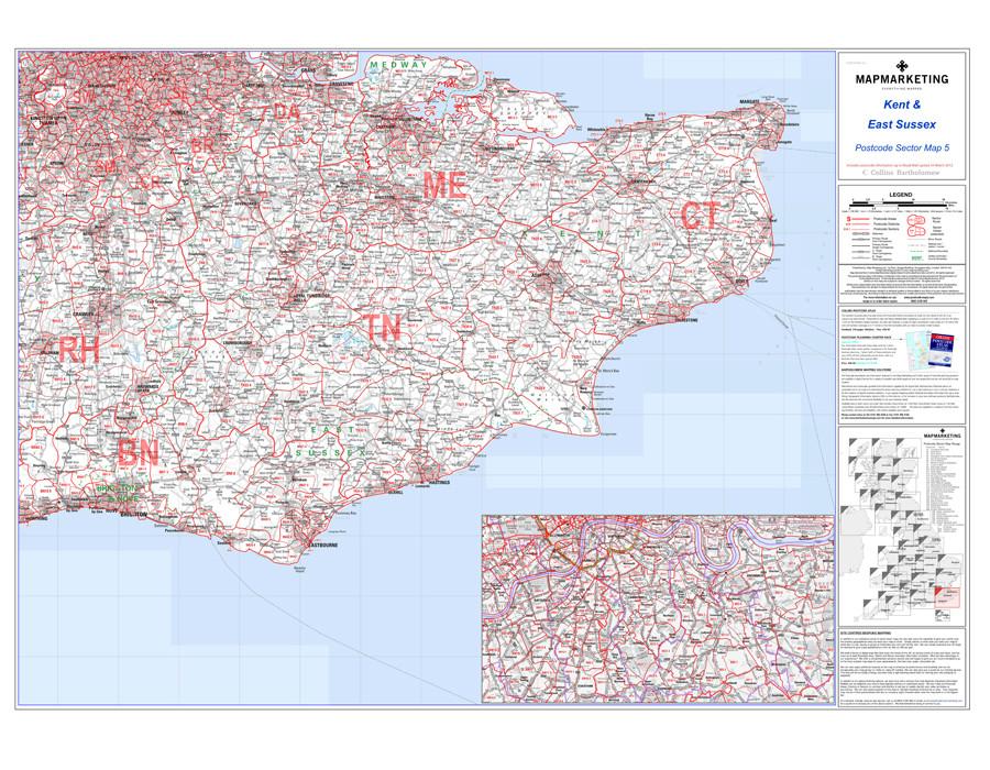
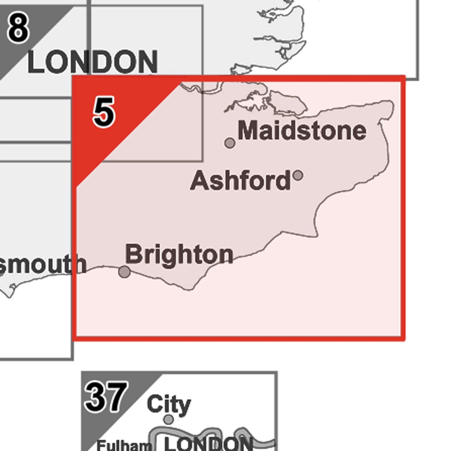
Sector Sheet 5: Kent & East Sussex
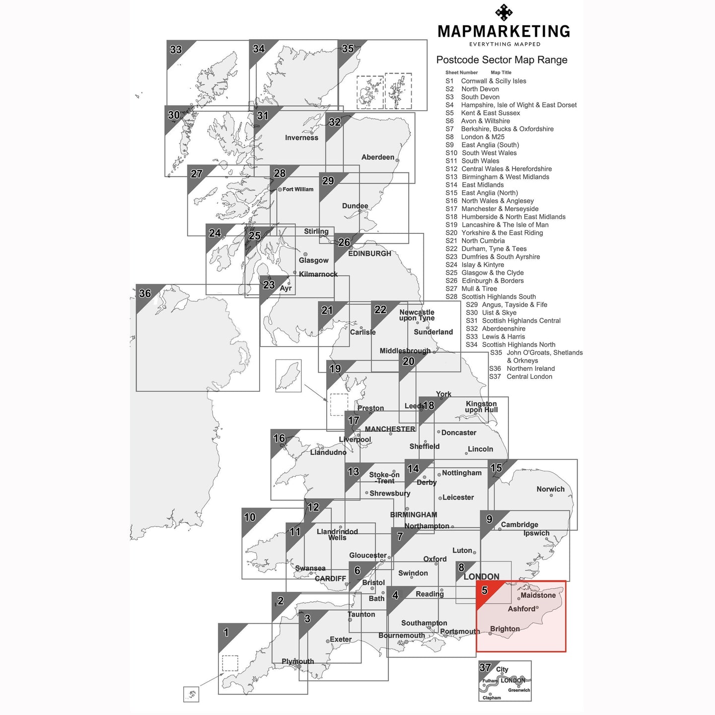
This is Postcode sector map is the fifth in the series of 37 pre-defined map sheets that cover the UK at Sector level displaying all of the first part of the postcode and the first number of the second part, or Inward Code, at a scale of an inch to 2.4 miles. Focusing on the Kent and East Sussex, the postcode sector map covers major cities such as Canterbury, Maidstone and Dover the following geographical area:
North: Bridgewater
South: Eastbourne
East: Dover
West: Horsham
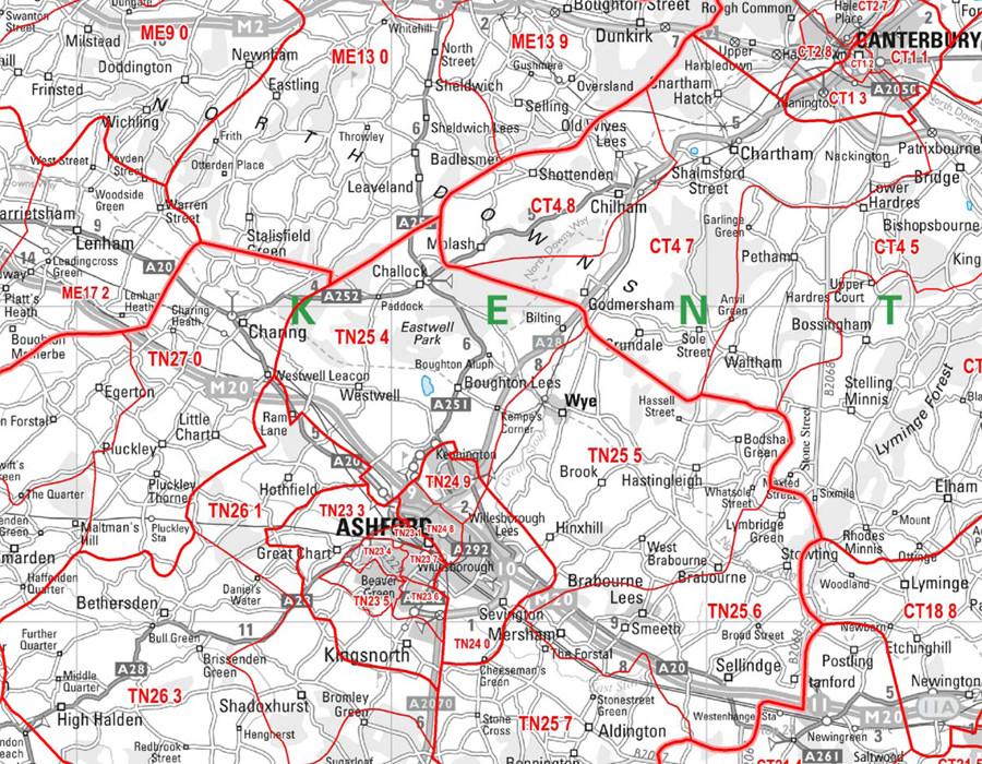
This Sector map includes all of the postcode changes in the most recent Royal Mail Postcode Update. Area, District and Sector boundaries and numbers/letters are shown in red with County and Unitary Authority boundaries presented in green. The map base shows motorways, primary, ‘A’ and down to unclassified roads with conurbation shapes and city plan insets showing street level detail for major cities.
Specifications:
Size: 73 x 107 cm (29 x 42 inches)
Scale: 1:150 000 (1 inch to 2.4 miles)
Kent and East Sussex Postcode Wall Map - Sector Map 5

Size: 73 x 107 cm (29 x 42 inches)
Product Code: S5P
Sector Sheet 5: Kent & East Sussex
This is Postcode sector map is the fifth in the series of 37 pre-defined map sheets that cover the UK at Sector level displaying all of the first part of the postcode and the first number of the second part, or Inward Code, at a scale of an inch to 2.4 miles. Focusing on the Kent and East Sussex, the postcode sector map covers major cities such as Canterbury, Maidstone and Dover the following geographical area:
North: Bridgewater
South: Eastbourne
East: Dover
West: Horsham
This Sector map includes all of the postcode changes in the most recent Royal Mail Postcode Update. Area, District and Sector boundaries and numbers/letters are shown in red with County and Unitary Authority boundaries presented in green. The map base shows motorways, primary, ‘A’ and down to unclassified roads with conurbation shapes and city plan insets showing street level detail for major cities.
Specifications:
Size: 73 x 107 cm (29 x 42 inches)
Scale: 1:150 000 (1 inch to 2.4 miles)
REVIEWS