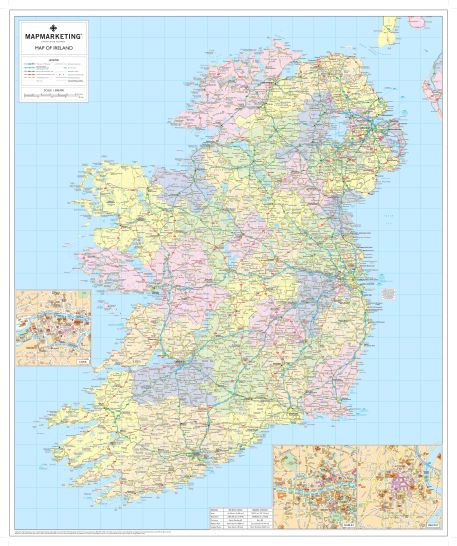
This excellent political wall map of Ireland - with roads and county boundaries clearly marked - doubles up as a handy route-planning tool.
Newly updated in 2015, the detailed map base consists of a comprehensive road network and all main towns as a backdrop with each County shaded in a different colour for ease of identification. In Ulster both County and Province boundaries are marked and named to include the county changes that came into effect in April 2015. Major railway lines, ferry routes and rivers are also shown. City centre street insets are included for Dublin, Belfast and Cork. Information concerning physical features, population, surface area and currency is shown in an inset box. An ideal map for either business or leisure use in Ireland.
- Size: 84 x 100 cm
- Scale: 1:600,000
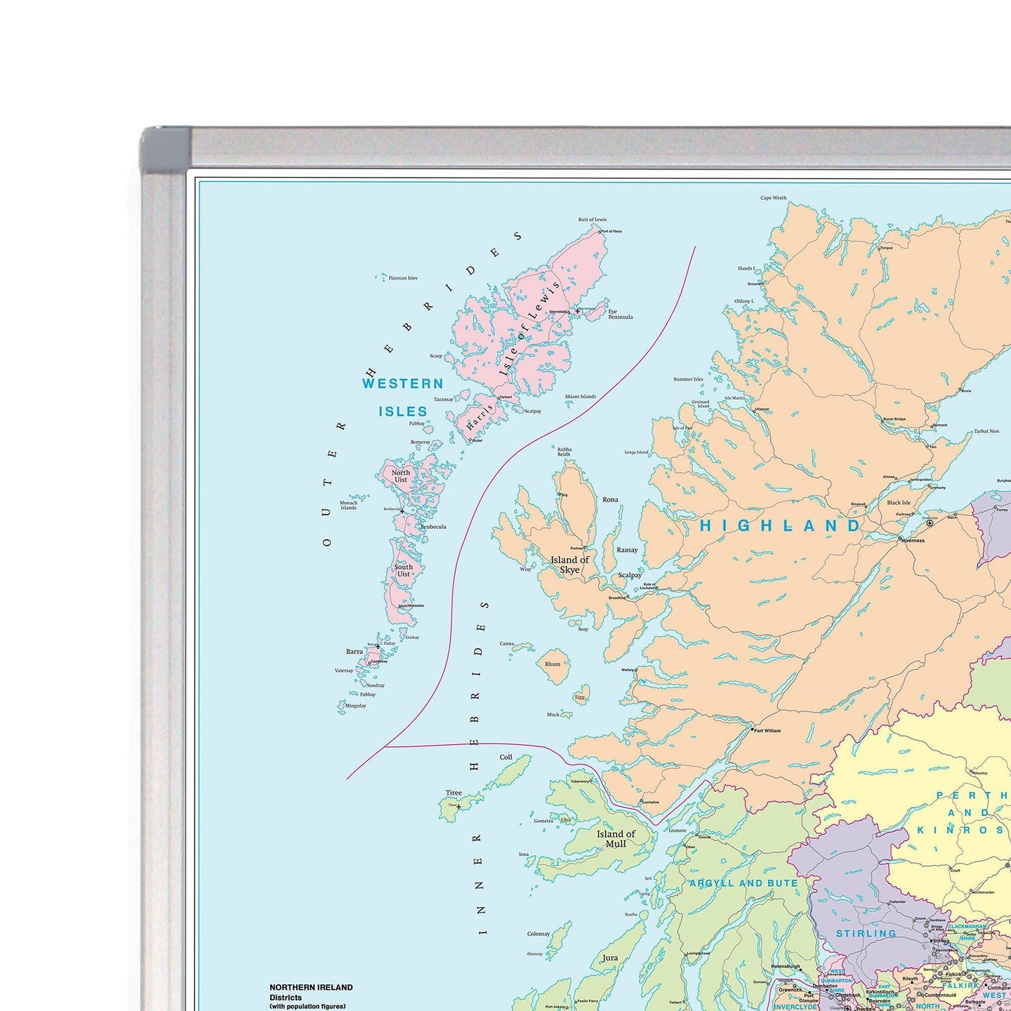
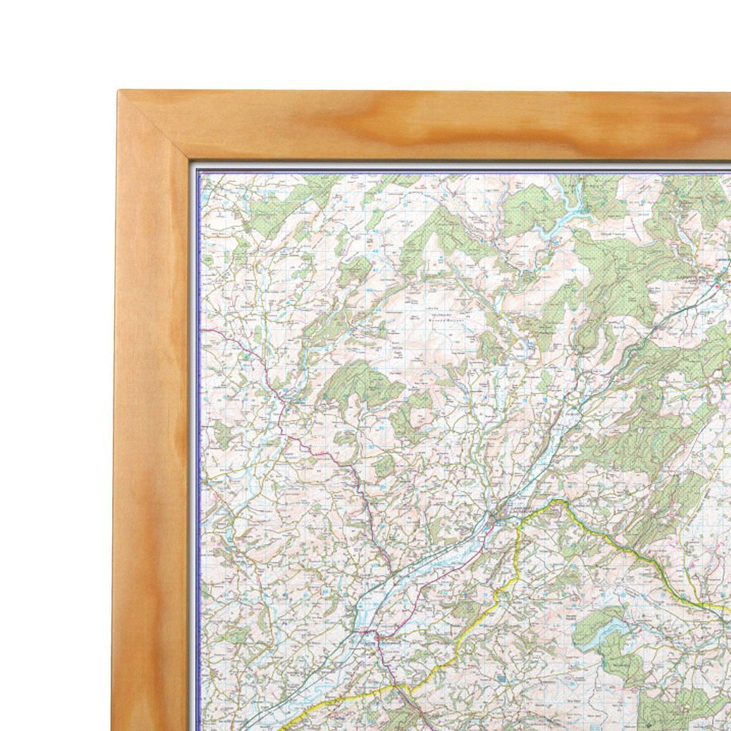
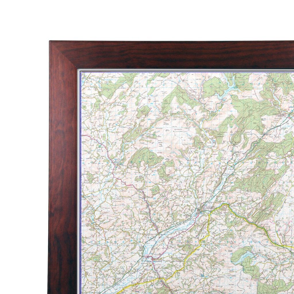
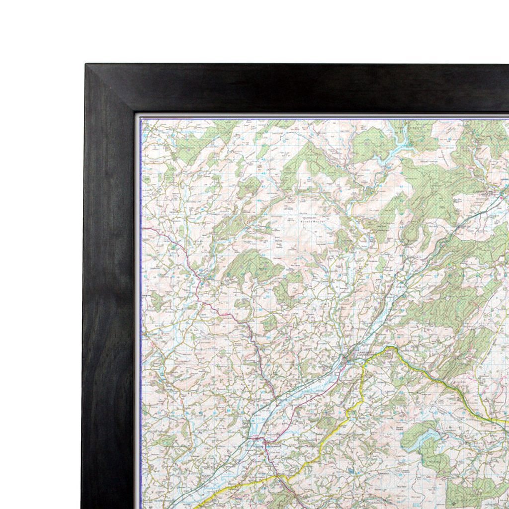
This map is permanently bonded between two sheets of tough, flexible, crystal-clear plastic. This finish allows you to “write on, wipe off” with dry or wet wipe pens. This map is also available laminated and framed in either superb satin-finish aluminium or light, black or dark wood supplied ready to display.
Ireland Political Map - Irish Wall Map with Roads and County Borders

Size: 84cm x 100cm (33 x 39 inches)
Product Code: IRE
This excellent political wall map of Ireland - with roads and county boundaries clearly marked - doubles up as a handy route-planning tool.
Newly updated in 2015, the detailed map base consists of a comprehensive road network and all main towns as a backdrop with each County shaded in a different colour for ease of identification. In Ulster both County and Province boundaries are marked and named to include the county changes that came into effect in April 2015. Major railway lines, ferry routes and rivers are also shown. City centre street insets are included for Dublin, Belfast and Cork. Information concerning physical features, population, surface area and currency is shown in an inset box. An ideal map for either business or leisure use in Ireland.
- Size: 84 x 100 cm
- Scale: 1:600,000
This map is permanently bonded between two sheets of tough, flexible, crystal-clear plastic. This finish allows you to “write on, wipe off” with dry or wet wipe pens. This map is also available laminated and framed in either superb satin-finish aluminium or light, black or dark wood supplied ready to display.
REVIEWS